Ottawa River
Ontario, Canada
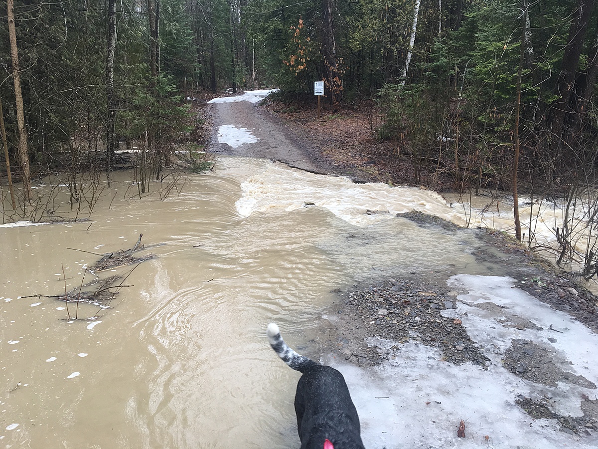
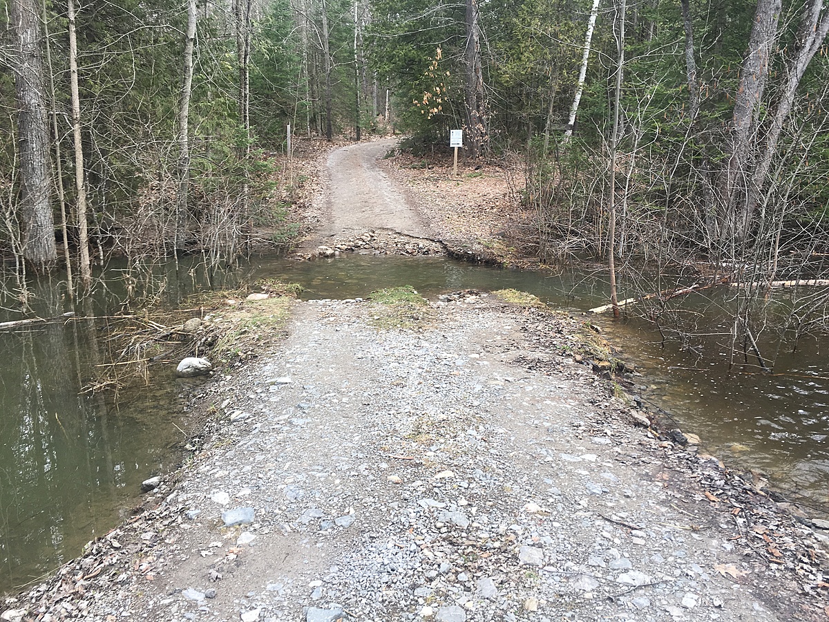
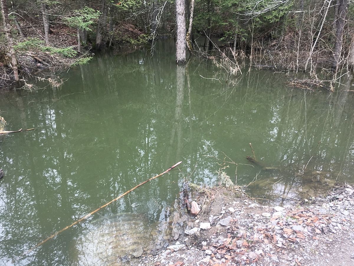
Below the lorne, 20 m from entering the Ottawa River. Samples taken at the culvert near the picnic area.
Location created by
Jennifer Valentine
- Group: Protect Our Waters
- Lat: 45.7342985
- Lng: -76.7721605
- Waterbody Type: River
- Timezone: America/Toronto
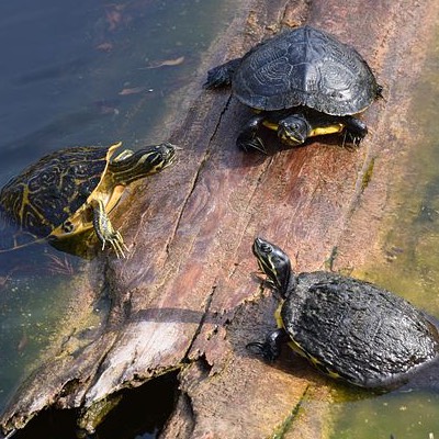
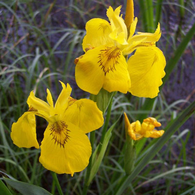
Latest photos
Observations summary

Observation tests summary
Air temperature
°C
19.4
Latest
16.5
Average
Water temperature
°C
20.7
Latest
13.7
Average
Alkalinity
mg/L
240
Latest
142
Average
Conductivity
μS/cm
470
Latest
258
Average
pH (0-14)
7.1
Latest
7.9
Average
Hardness
mg/L
450
Latest
190
Average
Secchi depth
m
0.0
Latest
0.0
Average
Water depth
m
1.2
Latest
1.1
Average
Dissolved oxygen
mg/L
8.0
Latest
6.2
Average
Ice On
Ice Off
- 2017-07-09
- 2017-04-24
- 2017-04-16
- 2017-04-09