Ottawa River
Ontario, Canada
Below the lorne, 20 m from entering the Ottawa River. Samples taken at the culvert near the picnic area.
Location created by
Jennifer Valentine
- Group: Protect Our Waters
- Lat: 45.7342985
- Lng: -76.7721605
- Waterbody Type: River
- Timezone: America/Toronto
Latest photos
Ottawa River : Drainage creek 20m from OR
Observed on
2017-08-04
Rain overnight. Very humid and warm.
Ottawa River : Drainage creek 20m from OR
Observed on
2017-07-16
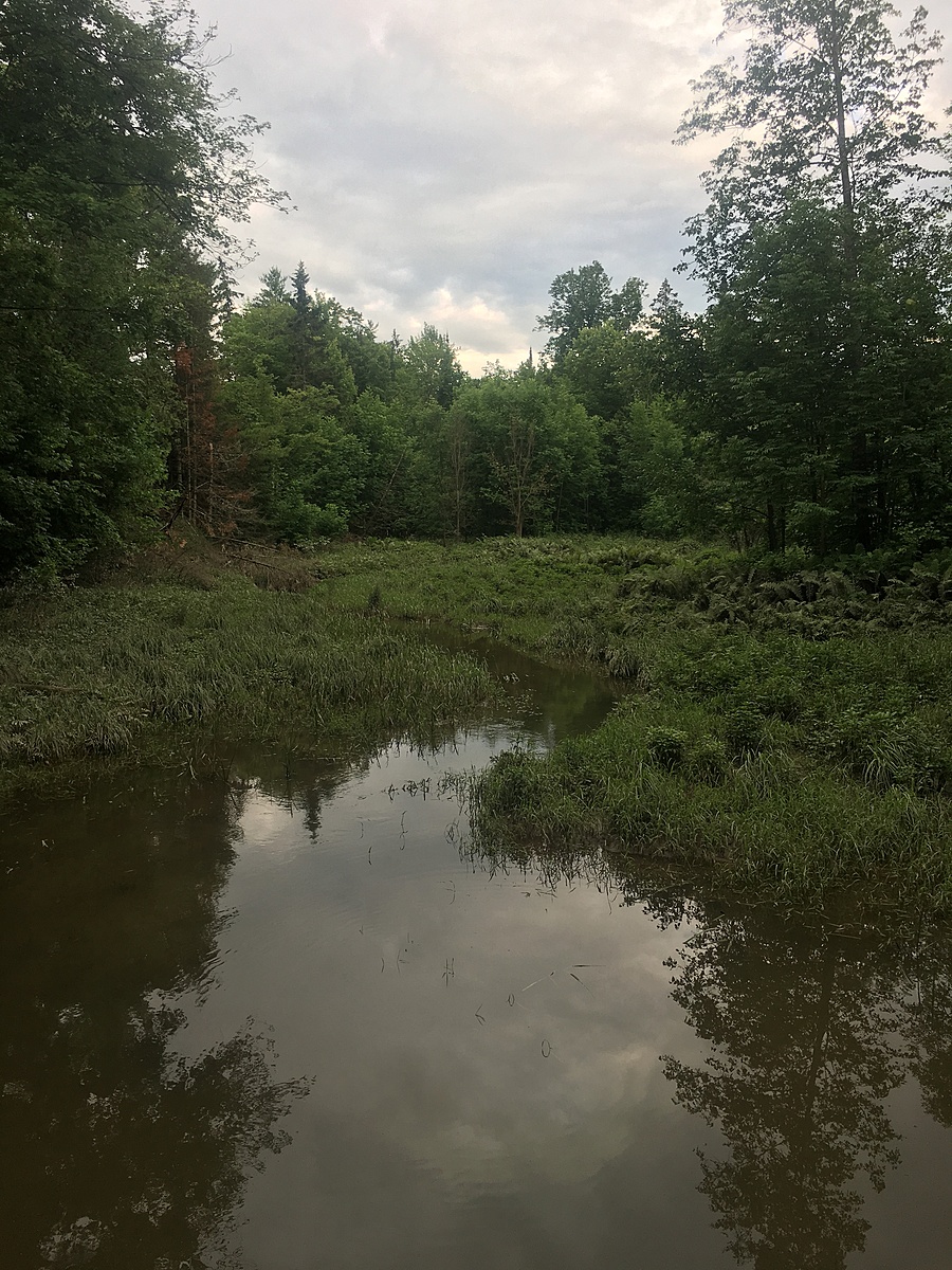
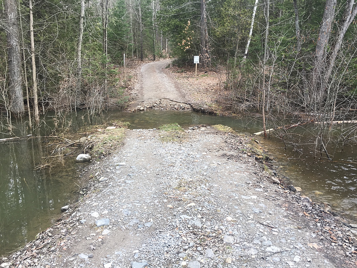
Water levels have dropped. Road has been repaired recently. Minimal disturbance to creek. Many le...
Ottawa River : Drainage creek 20m from OR
Observed on
2017-07-09
Lots of frogs along the bank of the creek. Road has been repaired since spring floods. Water is s...
Ottawa River : Drainage creek 20m from OR
Observed on
2017-06-24
Ottawa River : Drainage creek 20m from OR
Observed on
2017-06-22
Ottawa River : Drainage creek 20m from OR
Observed on
2017-06-21
Ottawa River : Drainage creek 20m from OR
Observed on
2017-05-10
Walked the trail, collecting morels and fiddleheads. It was chilly at dusk and it had been a bit...
Ottawa River : Drainage creek 20m from OR
Observed on
2017-05-09
Hunted for fiddle heads and morels with Julie Sell. Took her water testing for the first time. It...
Ottawa River : Drainage creek 20m from OR
Observed on
2017-04-24
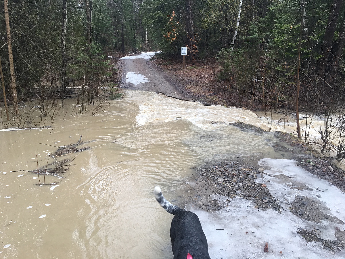
The creek is still high and washing out the road. Lots of debris and sediment in the water. A...
Ottawa River : Drainage creek 20m from OR
Observed on
2017-04-16
Erosion is heavy today as all the spring rain and snow melt has washed away quite a bit of the ac...