Hopps Bay
Ontario, Canada
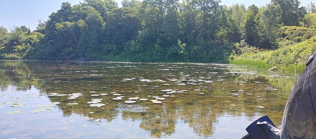
The site is a soft-bottomed and muddy, sheltered wetland with high vegetation. The water is clear but shallow - some tripping hazards such as tires, a sunken rowboat, and branches from a beaver dam nearby.
Location created by
Emma Ehrenfeld
- Group: River Institute : Upper St. Lawrence River Volunteer Monitoring
- Lat: 45.007277
- Lng: -74.7191334
- Waterbody Type: Bay
- Timezone: America/Toronto
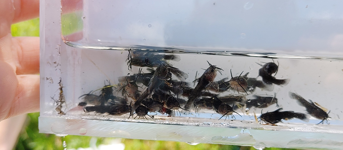
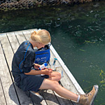
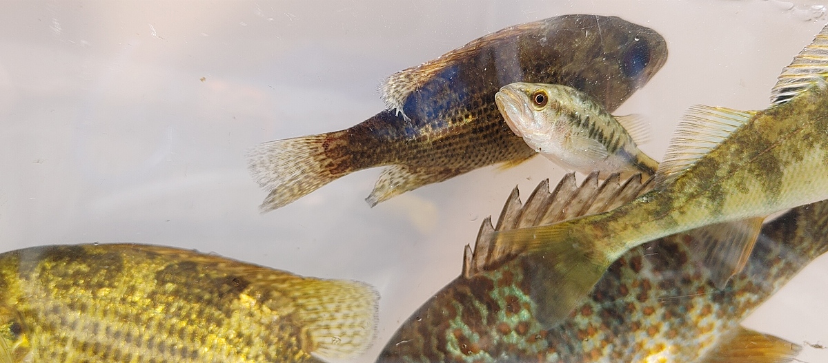
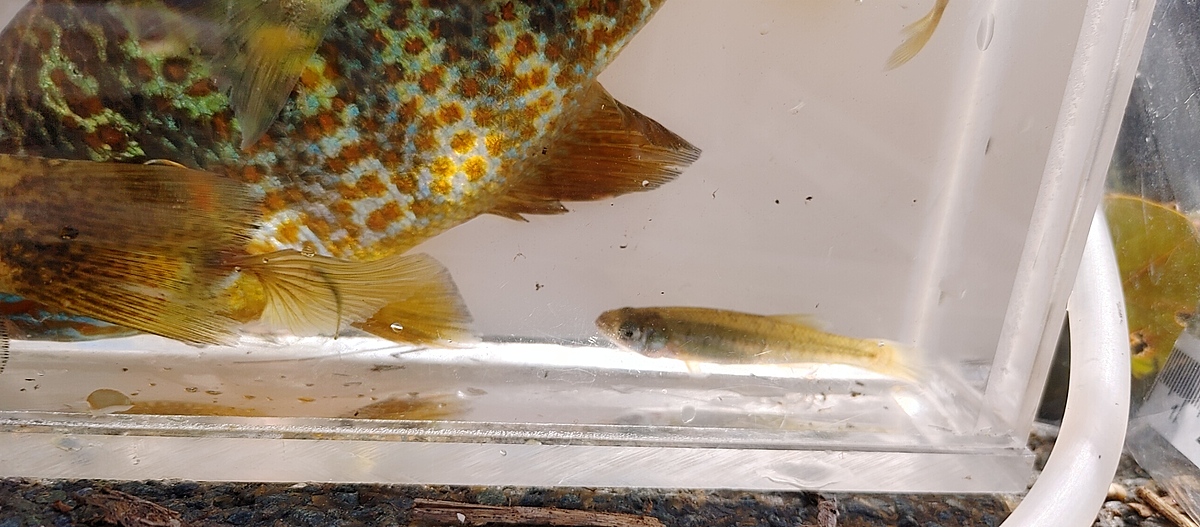
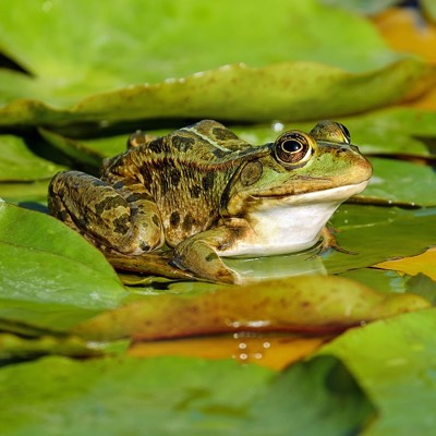
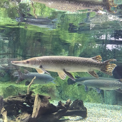
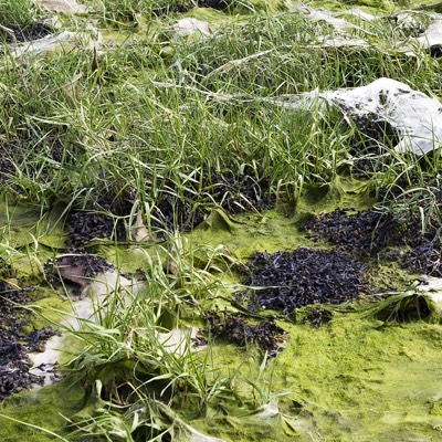
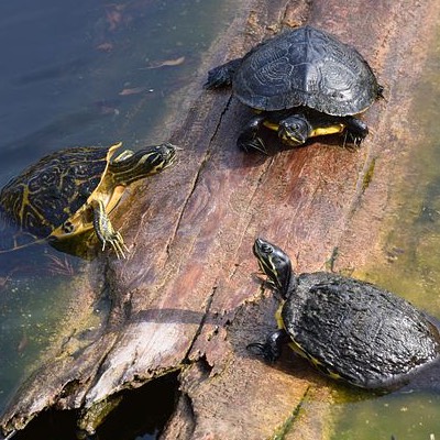
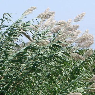
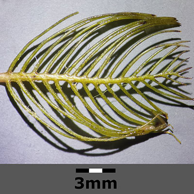
Latest photos
Observations summary


Observation tests summary
Air temperature
°C
25.0
Latest
27.8
Average
Water temperature
°C
24.9
Latest
25.4
Average
Alkalinity
mg/L
120
Latest
107
Average
Hardness
mg/L
100
Latest
100
Average
Dissolved oxygen
mg/L
6.0
Latest
7.3
Average
Conductivity
μS/cm
281
Latest
279
Average
Secchi depth
m
0.1
Latest
0.5
Average
Water depth
m
1.0
Latest
1.2
Average
pH (0-14)
7.8
Latest
7.9
Average
Chlorine
ppm
6.0
Latest
6.0
Average