Larder Lake
Ontario, Canada
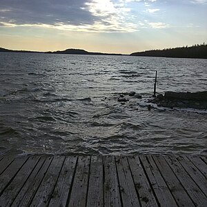
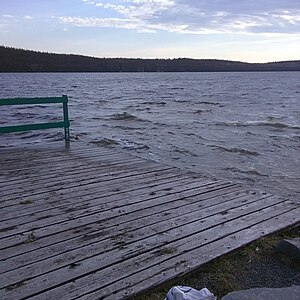
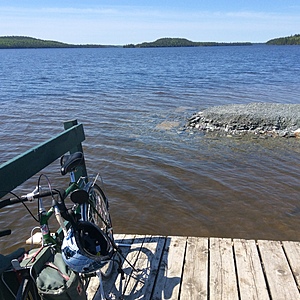
Easily accessible location beside the boat launch where the picnic table sits . This is close to the eastern most point of Larder Lake where the river flows into the lake from other lakes. This is also where the Kerr Adison mine operated for many decades as one of the largest gold mines in the world at the time of it's peak production. Back then mine tailings were routinely dumped directly into the lake here...fortunately the mine has been closed for a long time.

Location created by
Heather Ross
- Group: County Sustainability Group
- Lat: 48.1270426
- Lng: -79.5849609
- Waterbody Type: Lake
- Timezone: America/Toronto
Latest photos
View all photosObservations summary
Observation tests summary
Air temperature
°C
23.0
Latest
15.8
Average
Water temperature
°C
22.2
Latest
15.5
Average
Alkalinity
mg/L
20
Latest
38
Average
Hardness
mg/L
0
Latest
56
Average
Dissolved oxygen
mg/L
5.5
Latest
6.3
Average
Conductivity
μS/cm
90
Latest
98
Average
Secchi depth
m
0.0
Latest
0.1
Average
Water depth
m
0.8
Latest
0.7
Average
pH (0-14)
7.0
Latest
6.9
Average
Phosphates total
ppm
3.0
Latest
19.0
Average
Ice On
- 2023-12-01
- 2022-12-02
- 2021-12-11
- 2020-12-06
Ice Off
- 2025-05-16
- 2023-05-02
- 2022-05-07
- 2021-04-14
- 2020-05-15
- 2019-05-18
- 2018-06-09


