St. Lawrence River
Ontario, Canada
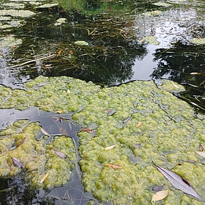
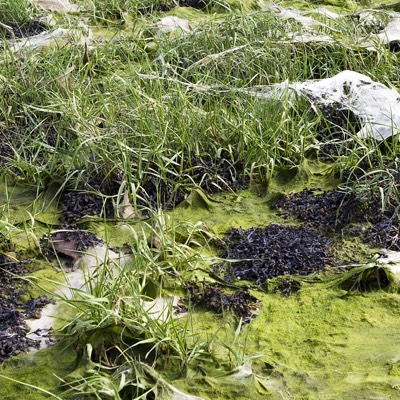
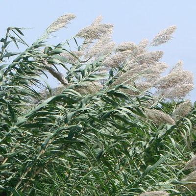
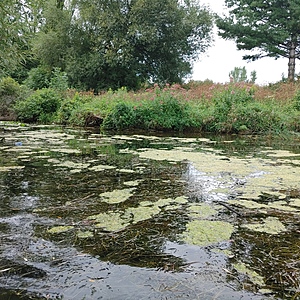
Mouth of a small creek, deceptively deep as it is used as a boat passageway. Rocky and silty bottomed, high vegetation in and around the water.
Coordinates: 45.011009 -74.701574
Location created by
Emma Ehrenfeld
- Group: River Institute : Upper St. Lawrence River Volunteer Monitoring
- Lat: 45.0108763
- Lng: -74.701581
- Waterbody Type: Inlet or Fjord
- Timezone: America/Toronto
Latest photos
View all photosObservations summary
Observation tests summary
Air temperature
°C
27.5
Latest
27.5
Average
Water temperature
°C
24.1
Latest
24.1
Average
Alkalinity
mg/L
120
Latest
120
Average
Hardness
mg/L
100
Latest
100
Average
Dissolved oxygen
mg/L
7.5
Latest
7.5
Average
Conductivity
μS/cm
296
Latest
296
Average
Secchi depth
m
0.0
Latest
0.0
Average
Water depth
m
0.8
Latest
0.8
Average
Turbidity
NTU
1.2
Latest
1.2
Average
pH (0-14)
7.8
Latest
7.8
Average

