
St. Lawrence River
Ontario, Canada
The site is along the shore of the Eastern end of Macdonell island, right next to the remains of the old highway two as it goes into the river. Note that this creates a rocky shelf, where the current is very fast the further out you walk. Step carefully, or avoid the area.
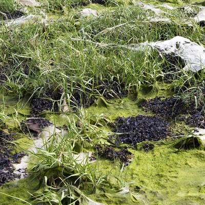
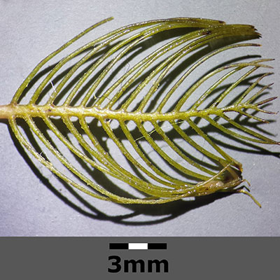
The substrate is mostly rocky/sandy, but there is very dense macrophyte cover that may make it hard to walk. Luckily, the water here is very clear, so hazards are easily visible.
Location created by
Emma Ehrenfeld
- Group: River Institute : Upper St. Lawrence River Volunteer Monitoring
- Lat: 45.0039091
- Lng: -74.8874903
- Waterbody Type: River
- Timezone: America/New_York
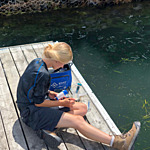
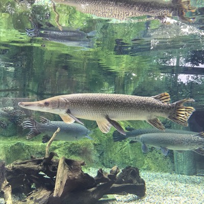
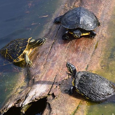
Latest photos


Observations summary


Observation tests summary
Air temperature
°C
24.0
Latest
27.0
Average
Water temperature
°C
21.8
Latest
21.9
Average
Alkalinity
mg/L
80
Latest
130
Average
Hardness
mg/L
100
Latest
100
Average
Dissolved oxygen
mg/L
9.0
Latest
9.0
Average
Conductivity
μS/cm
282
Latest
291
Average
Secchi depth
m
0.0
Latest
0.0
Average
Water depth
m
1.0
Latest
0.8
Average
pH (0-14)
7.8
Latest
7.8
Average
Dissolved oxygen
%
91.2
Latest
91.2
Average