Pearl River
Brandon, Mississippi, United States
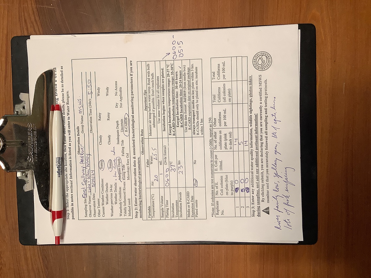
Pearl River just downstream from the Ross Barnett Reservoir Spillway dam. East side of the Pearl just upstream from where Pelahatchie Creek enters.
Location created by
Abby Braman
- Group: Mississippi State University : Mississippi Water Stewards
- Lat: 32.3944936
- Lng: -90.0654244
- Waterbody Type: River
- Timezone: America/Chicago
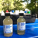
Latest photos


Average water level, many fishermen, some egrets, one heron
Water extremely high; a lot of foam, muddy and cloudy. Many seagulls, egrets, herons in the flooded areas and in trees
Lots of egrets wading and roosting. One white pelican. Large flock of seagulls. Water high, a lot of foam, spillway gates appeared wide open
River very low; a few egrets; several fishermen near sample sight
Water low, some fishermen, sand bars and dead trees exposed, some egrets , several people digging for shellfish
Flocks of egrets roosting in trees across the way; water cloudy, foamy (lg chunks of foam) large carp(?) surfacing, many fisherman
Water very high, well over benchmark bush; many egrets (great and cattle) and great blue heron feeding; water was full of minnows
River low, couple of egrets, herons
Barely light, a few herons, water fairly high
Water slightly up; Couple herons and great egrets, large alligator (10-12 feet) swimming downstream past us heading to sandbar on other side