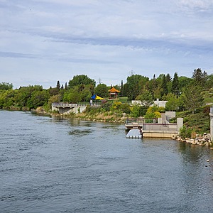
South Saskatchewan River
Saskatoon, Saskatchewan, Canada
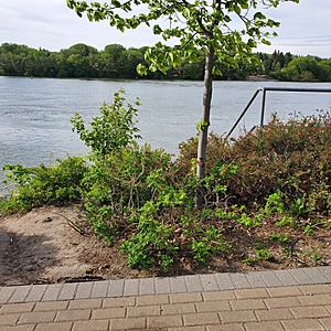
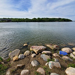
Section of river close to downtown area of City of Saskatoon. There is a storm drainage pipe immediately upstream of the site, and a bridge under construction immediately downstream. Riverbank is sandy and vegetated, with a soft sediment bottom. River depth and flow is measured farther downstream within the city limits. Water level and discharge information available.
*This area is a "brownfield site" - formerly the site of an electrical power plant. The pumphouse remains standing nearby, and is known to contain hazardous materials. This site was
known to have environmental contamination as soils had been impacted through the
presence of fly ash from burning coal. The power plant had been previously demolished
and the site remediated to commercial/industrial standards. However, to facilitate residential
and public use of the site, the City of Saskatoon engaged a contractor to supervise
remediation of the site to residential standards.

- Group: Wild Outside / Sors dehors
- Lat: 52.1222006
- Lng: -106.671474
- Waterbody Type: River
- Timezone: America/Regina
Latest photos
View all photosObservations summary
Observation tests summary
Ice On
Ice Off
- 2020-05-31

