South Saskatchewan River
Saskatoon, Saskatchewan, Canada
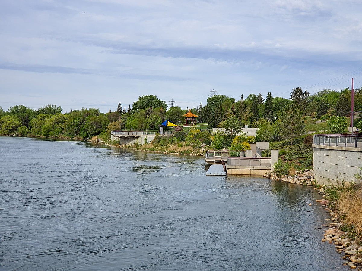
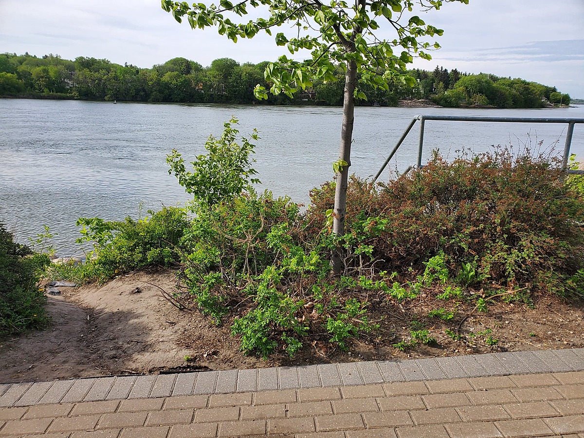
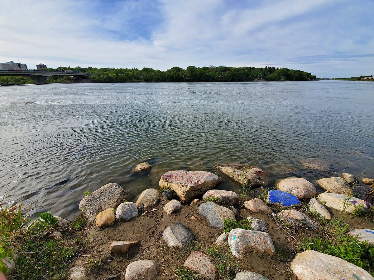
Section of river close to downtown area of City of Saskatoon. There is a storm drainage pipe immediately upstream of the site, and a bridge under construction immediately downstream. Riverbank is sandy and vegetated, with a soft sediment bottom. River depth and flow is measured farther downstream within the city limits. Water level and discharge information available.
*This area is a "brownfield site" - formerly the site of an electrical power plant. The pumphouse remains standing nearby, and is known to contain hazardous materials. This site was
known to have environmental contamination as soils had been impacted through the
presence of fly ash from burning coal. The power plant had been previously demolished
and the site remediated to commercial/industrial standards. However, to facilitate residential
and public use of the site, the City of Saskatoon engaged a contractor to supervise
remediation of the site to residential standards.

Location created by
Raea Gooding
- Group: Wild Outside / Sors dehors
- Lat: 52.1222006
- Lng: -106.671474
- Waterbody Type: River
- Timezone: America/Regina
Latest photos
I sampled in my regular spot, as well as a separate opportunistic sample directly from drain outflow. The only result that differed was the conductivity, which was 752 uS/cm from the outflow.
The sampling site was busy on this day. Lots of waterfowl, a photoshoot happening on the beach, and a lot of garbage and dumped artifacts (luggage, a bike, clothing).
River discharge approximately 115 m3/s
River flow ~ 150 m3/s
Lots of buzzing insects (heard, not seen), as well as ants. Water level seems normal
Lots of vegetation around site. Signs of bird activity (droppings, bird calls)