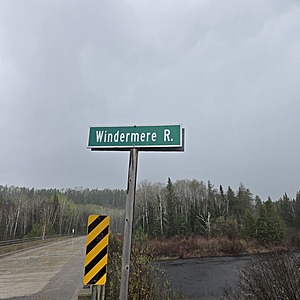
Windermere River
Hawk Junction, Ontario, Canada
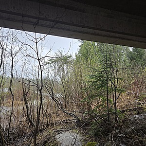
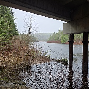
Sample Taken under the bridge on the south side
The water if moving fast
The banks are congested with alder, and dogwood.
The banks are sand, clay mix

Location created by
Ty Hourtovenko
- Group: Missanabie Cree First Nation : Dog Lake Head Waters Monitoring Program
- Site ID: WR-HWY651
- Lat: 48.1302429
- Lng: -84.0513754
- Waterbody Type: River
- Timezone: America/Toronto
Latest photos
View all photosWindermere River : Windermere
Observed on
2025-05-17
NOTE: The Windermere River is claimed to have been a historical trade route with connections to ...


