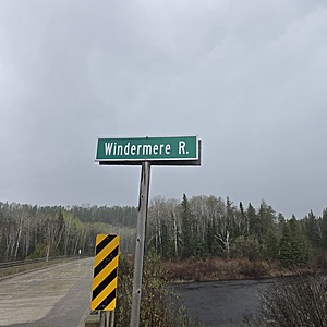
Windermere River
Hawk Junction, Ontario, Canada
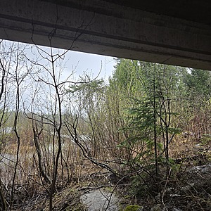
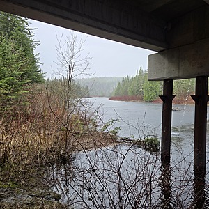
Sample Taken under the bridge on the south side
The water if moving fast
The banks are congested with alder, and dogwood.
The banks are sand, clay mix

- Group: Missanabie Cree First Nation : Dog Lake Head Waters Monitoring Program
- Site ID: WR-HWY651
- Lat: 48.1302429
- Lng: -84.0513754
- Waterbody Type: River
- Timezone: America/Toronto
Latest photos
View all photosWater Level significantly lower.
NOTE: The Windermere River is claimed to have been a historical trade route with connections to lakes near the Lake Superior Provincial Park, and to the east, makes connections to Balkow Lake, which is a part of the Little Missanabie Lake, which connects to the "big" Missinaibi Lake at Ferry Point, a sacred place with historical pictographs. It is indicated in elder "Archi Nolan's" notes, that there exists pictographs on the Windermere River.


