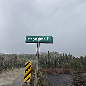
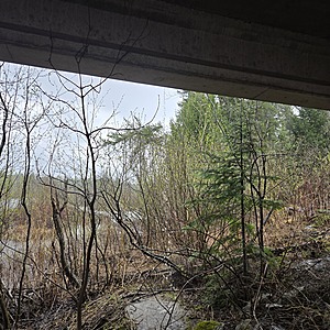
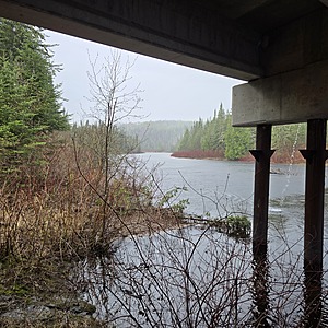
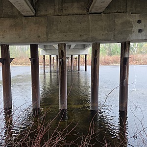
Windermere : Windermere River
Hawk Junction, Ontario, Canada

Observed by
Ty Hourtovenko
- Observed on: Sat, 17 May 2025 15:20:00 -0400
-
Associated with:
Missanabie Cree First Nation : Dog Lake Head Waters Monitoring Program - Lat: 48.1302429
- Lng: -84.0513754
Observation report
See trends at this locationWater quality tests
Pending Quality Check from Water Rangers What's this?
pH (0-14)
What's this?
7.0
Dissolved oxygen mg/L
What's this?
7.0
Secchi depth m
What's this?
bottom visible
Chlorine ppm
What's this?
0.0
Hardness mg/L
What's this?
0.0
Alkalinity mg/L
What's this?
75.0
Water depth m
What's this?
0.25
Conductivity μS/cm
What's this?
60.0
Air temperature °C
What's this?
19.5
Water temperature °C
What's this?
12.6
Weather
Current weather What's this?
Weather in previous 24 hours What's this?
Latest photos
Notes
NOTE: The Windermere River is claimed to have been a historical trade route with connections to lakes near the Lake Superior Provincial Park, and to the east, makes connections to Balkow Lake, which is a part of the Little Missanabie Lake, which connects to the "big" Missinaibi Lake at Ferry Point, a sacred place with historical pictographs. It is indicated in elder "Archi Nolan's" notes, that there exists pictographs on the Windermere River.


