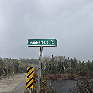
Windermere River
Hawk Junction, Ontario, Canada
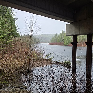
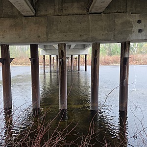
Sample Taken under the bridge on the south side
The water if moving fast
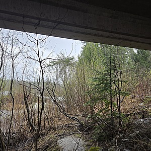
The banks are congested with alder, and dogwood.
The banks are sand, clay mix

Location created by
Ty Hourtovenko
- Group: Missanabie Cree First Nation : Dog Lake Head Waters Monitoring Program
- Site ID: WR-HWY651
- Lat: 48.1302429
- Lng: -84.0513754
- Waterbody Type: River
- Timezone: America/Toronto
Latest photos
View all photosObservation tests summary
Air temperature
°C
27.0
Latest
23.3
Average
Water temperature
°C
17.8
Latest
15.2
Average
Alkalinity
mg/L
95
Latest
85
Average
Hardness
mg/L
0
Latest
0
Average
Dissolved oxygen
mg/L
9.0
Latest
8.0
Average
Chlorine
ppm
0.0
Latest
0.0
Average
Conductivity
μS/cm
57
Latest
59
Average
Secchi depth
m
0.0
Latest
0.0
Average
Water depth
m
0.3
Latest
0.3
Average
pH (0-14)
7.0
Latest
7.0
Average


