
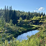
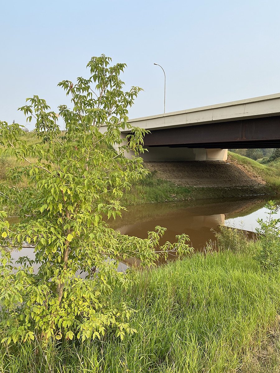
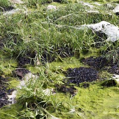
Tawatinaw River
Athabasca, Alberta, Canada
This location is North of the Highway 55 overpass and about 200 metres south of the confluence with the Athabasca River.
Location created by
Lisa Allan
- Group: Athabasca Watershed Council : Tawatinaw Watershed Working Group
- Lat: 54.7215097
- Lng: -113.279922
- Waterbody Type: River
- Timezone: America/Edmonton
Latest photos


Observations summary

Observation tests summary
Air temperature
°C
17.5
Latest
15.5
Average
Water temperature
°C
19.7
Latest
13.8
Average
Alkalinity
mg/L
180
Latest
196
Average
Hardness
mg/L
200
Latest
193
Average
Dissolved oxygen
mg/L
10.0
Latest
10.4
Average
Chlorine
ppm
0.0
Latest
0.0
Average
Conductivity
μS/cm
705
Latest
774
Average
Secchi depth
m
0.0
Latest
0.1
Average
Water depth
m
0.3
Latest
0.3
Average
pH (0-14)
7.8
Latest
7.9
Average