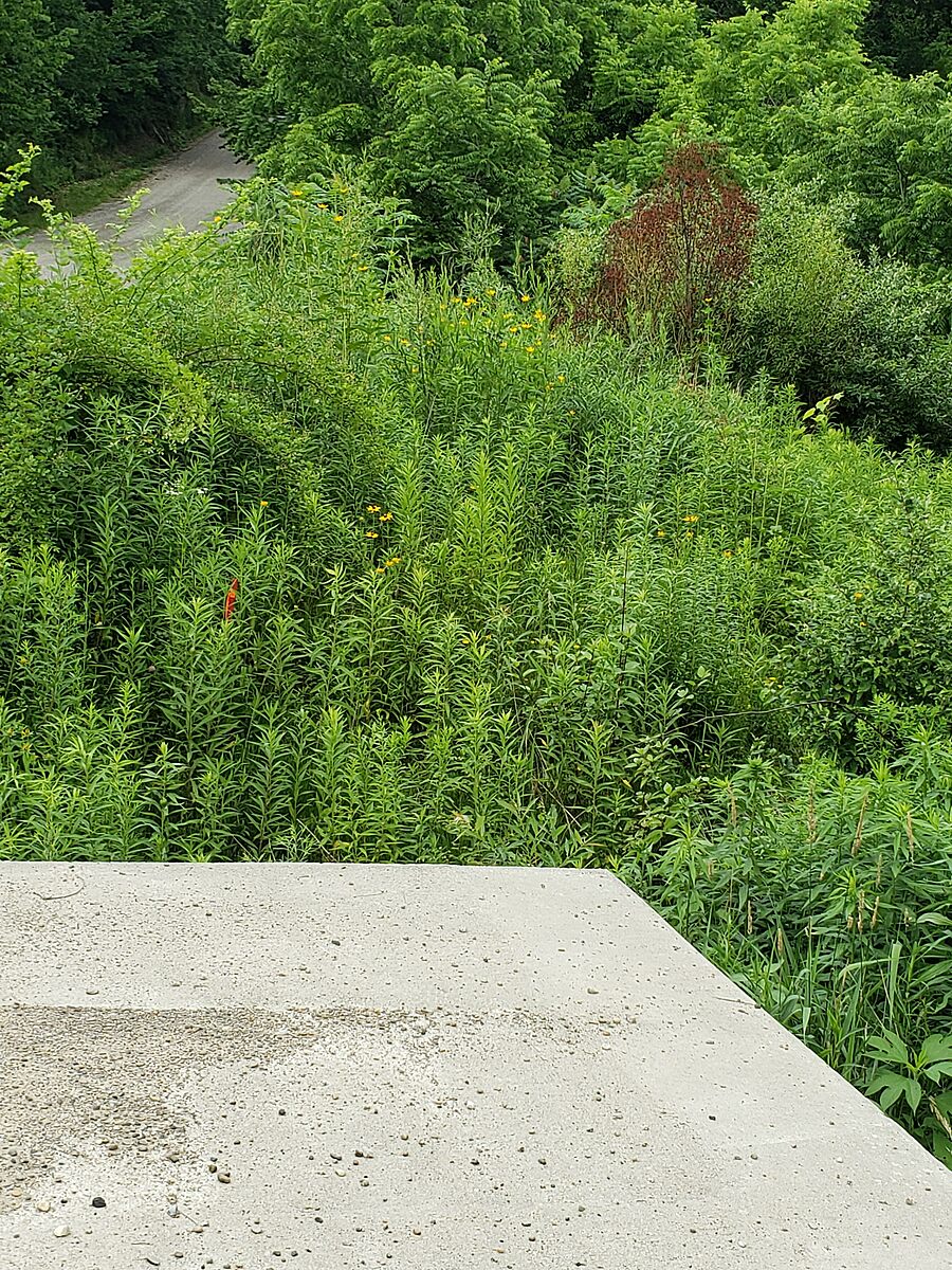
Port Glascow (creek just down hill to right of marina on Grey line
Ontario, Canada
This tributary is feeding into Lake Erie at Port Glasow. Our test site was down the hill on Grey line to right of marina. There is a cement culvert. We tested on the lake side in the left front corner. You can access by going down bank beside culvert . The left culvert hole (from below) was dry and we took our sample from the rocks about 8 ft from culvert leading into water.

Location created by
Rick Sowinski Maggie Jones
- Group: Water Rangers and Freshwater Alliance : Lake Erie Guardians
- Site ID: 3
- Lat: 42.5054375
- Lng: -81.6246712
- Waterbody Type: Creek
- Timezone: America/Toronto
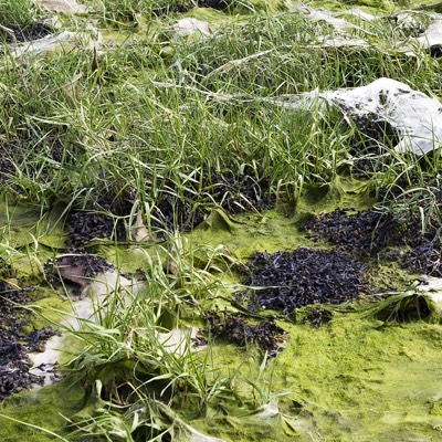
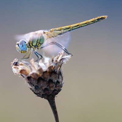
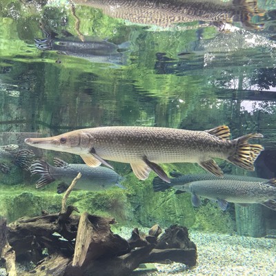
Latest photos


Observations summary

Observation tests summary
Air temperature
°C
32.0
Latest
16.6
Average
Water temperature
°C
25.1
Latest
14.2
Average
Alkalinity
mg/L
180
Latest
121
Average
Hardness
mg/L
200
Latest
200
Average
Chlorine
ppm
0.0
Latest
0.0
Average
Conductivity
μS/cm
537
Latest
582
Average
Water depth
m
0.3
Latest
0.4
Average
pH (0-14)
7.8
Latest
7.4
Average
Dissolved oxygen
mg/L
8.0
Latest
7.9
Average
Secchi depth
m
0.0
Latest
0.1
Average
Ice On
Ice Off
- 2023-12-29