Don River West Branch
Don Mills, Ontario, Canada
The Don River is formed from two rivers, the East and West Branches. This sample spot is located on the West Branch, which is situated between Leaside and Thorncliffe Park. The Don River and it's two branches are classified as an underfit river, which defines streams that are too small for its valley.
Location created by
Emma Manners
- Group: Water Rangers : Coxwell Ravine Park Water Monitoring
- Lat: 43.71597
- Lng: -79.34649
- Waterbody Type: River
- Timezone: America/Toronto
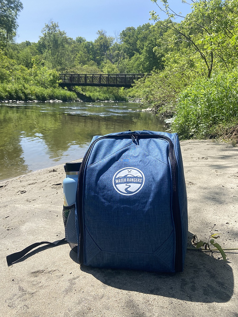
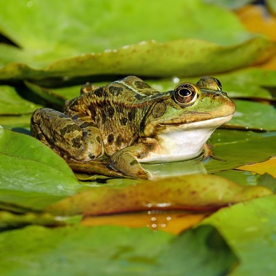
Latest photos
Observations summary

Observation tests summary
Air temperature
°C
22.0
Latest
23.2
Average
Water temperature
°C
17.7
Latest
19.4
Average
Alkalinity
mg/L
180
Latest
138
Average
Hardness
mg/L
200
Latest
230
Average
Dissolved oxygen
mg/L
12.0
Latest
10.6
Average
Chlorine
ppm
0.0
Latest
0.0
Average
Conductivity
μS/cm
1370
Latest
1411
Average
Secchi depth
m
0.0
Latest
0.0
Average
pH (0-14)
7.8
Latest
7.8
Average
Chloride
ppm
225.0
Latest
225.0
Average