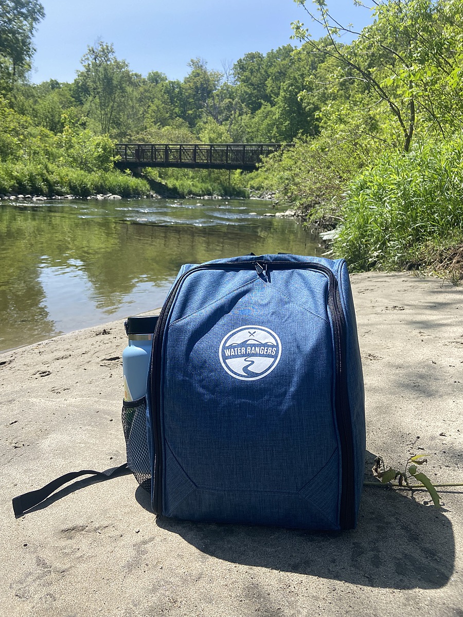
Don River West Branch
Don Mills, Ontario, Canada
The Don River is formed from two rivers, the East and West Branches. This sample spot is located on the West Branch, which is situated between Leaside and Thorncliffe Park. The Don River and it's two branches are classified as an underfit river, which defines streams that are too small for its valley.
Location created by
Emma Manners
- Group: Water Rangers : Coxwell Ravine Park Water Monitoring
- Lat: 43.71597
- Lng: -79.34649
- Waterbody Type: River
- Timezone: America/Toronto
Latest photos
Don River West Branch : Beaver Flats Trail Beach
Observed on
2023-09-01
Don River West Branch : Beaver Flats Trail Beach
Observed on
2023-07-30
surging water following yesterday's rainfall, more rain to come, fishy smell
Don River West Branch : Beaver Flats Trail Beach
Observed on
2023-06-25
2 frogs watching us water test
Don River West Branch : Beaver Flats Trail Beach
Observed on
2023-05-31
Conductivity higher than usual, pH was higher than chart extended.