
Credit river
Orangeville, Ontario, Canada
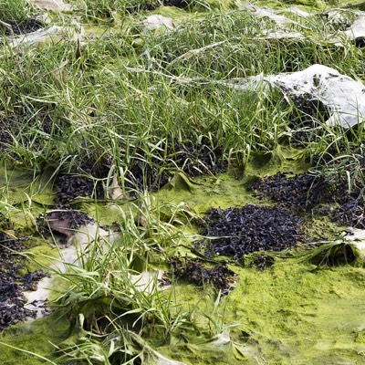
Portion of the Credit River beneath Orangeville’s bypass

Location created by
Matt Stouten
- Lat: 43.9101654
- Lng: -80.0788245
- Waterbody Type: River
- Timezone: UTC
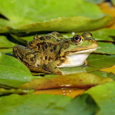
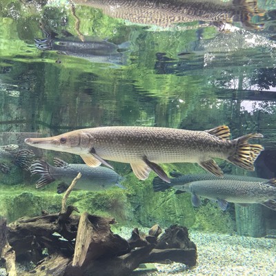
Latest photos


Observations summary


Observation tests summary
Air temperature
°C
27.0
Latest
19.0
Average
Water temperature
°C
22.4
Latest
16.4
Average
Alkalinity
mg/L
120
Latest
146
Average
Hardness
mg/L
200
Latest
210
Average
Dissolved oxygen
mg/L
10.0
Latest
10.0
Average
Chlorine
ppm
0.0
Latest
0.1
Average
Conductivity
μS/cm
1353
Latest
1475
Average
Secchi depth
m
1.3
Latest
1.3
Average
Water depth
m
1.5
Latest
1.3
Average
pH (0-14)
7.5
Latest
7.6
Average