
Ancient Grove Creek, Brunette River Watershed
Burnaby, British Columbia, Canada
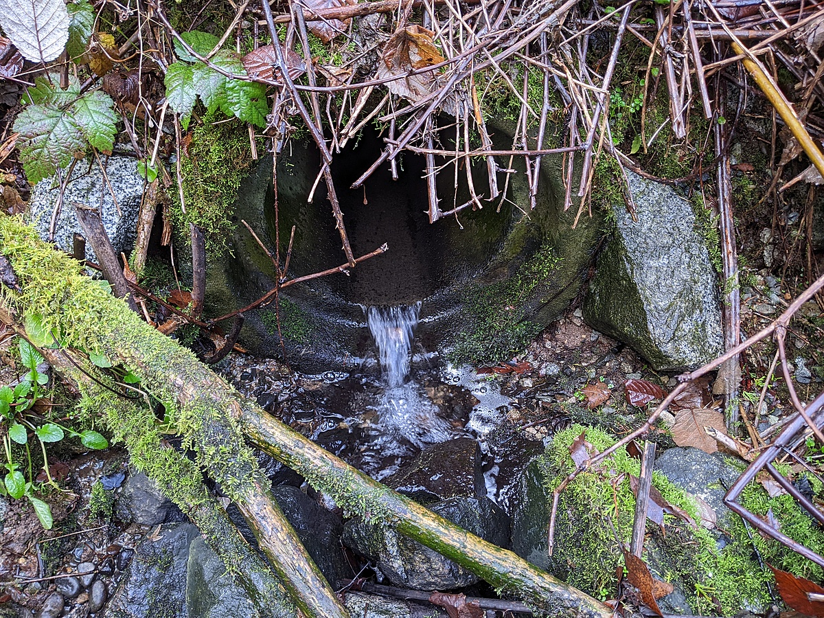
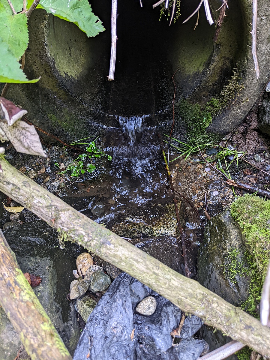
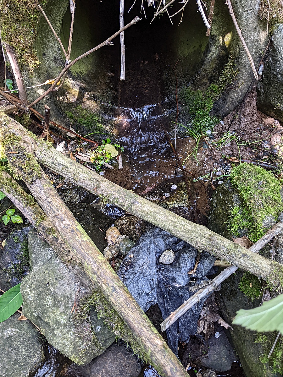
Tributary 2 is fed by a stormdrain from the Mona Drive area of Cariboo Heights.

Location created by
Utta Gagel
- Group: Cariboo Heights Forest Preservation Society : Road Salt in Urban Creeks Project
- Site ID: AGC - 2
- Lat: 49.2403901
- Lng: -122.9016537
- Waterbody Type: Creek
- Timezone: America/Vancouver
Latest photos
Observations summary

Observation tests summary
Water temperature
°C
5.4
Latest
10.8
Average
Total dissolved solids
ppm
35.0
Latest
154.3
Average
Conductivity
μS/cm
69
Latest
283
Average
Air temperature
°C
4.9
Latest
12.3
Average
Alkalinity
mg/L
0
Latest
38
Average
Hardness
mg/L
0
Latest
0
Average
Total Suspended Solids
mg/L
80.0
Latest
80.0
Average
Chlorine
ppm
0.0
Latest
0.0
Average
Water depth
m
0.1
Latest
0.1
Average
pH (0-14)
7.2
Latest
6.7
Average