Wagg Creek
North Vancouver, British Columbia, Canada
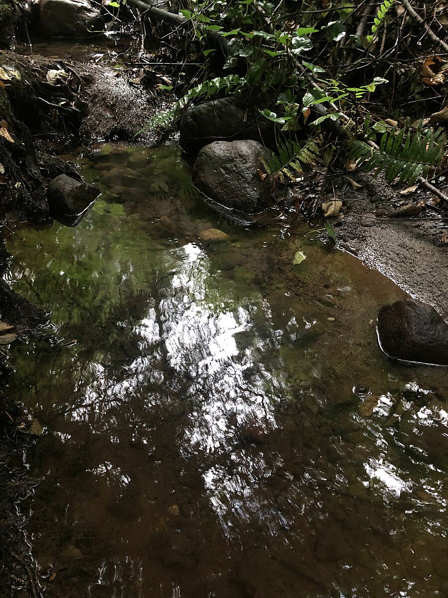
Highest point that Wagg can be seen above ground. Water running steadily.
Single family home neighbourhood, large lots.
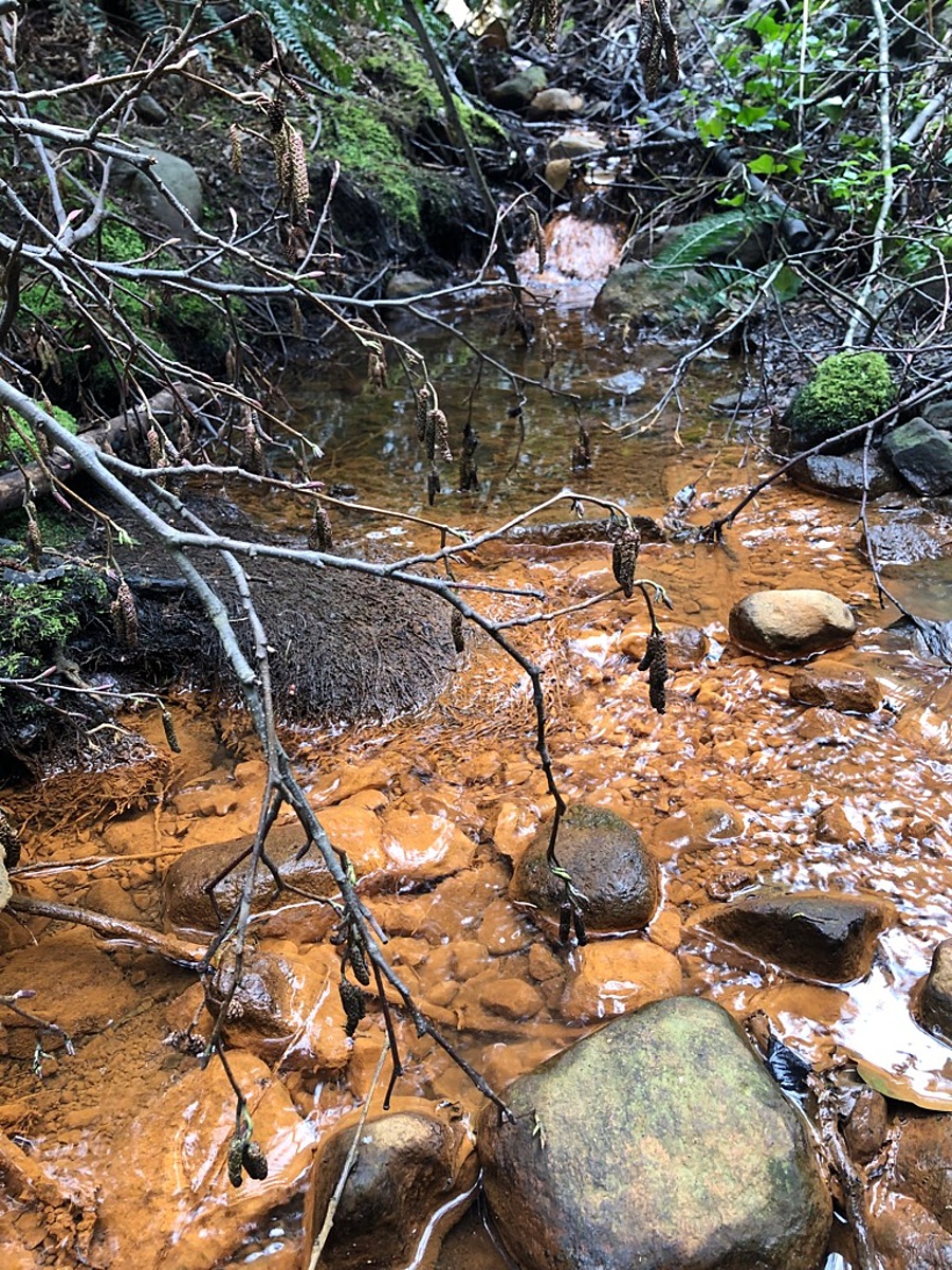
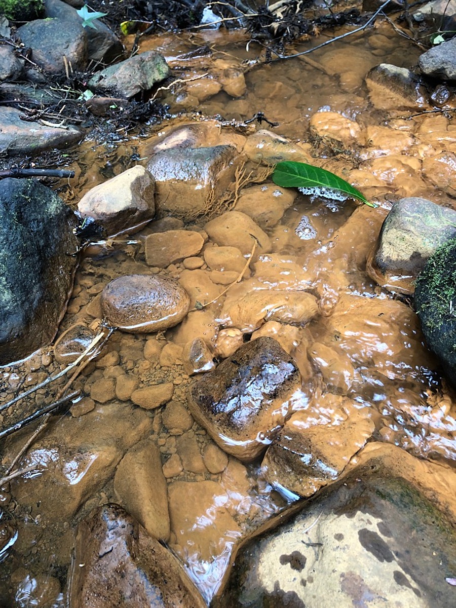
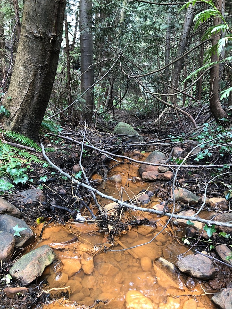
Sampling site is a ravine / small easement between two houses. Go down the path. Stream bed has a steep grade. The creek flows out of a storm pipe. Strong iron oxide deposit (slimy orange coating on cobble and staining of water first seen June 2021, fading in June 2022). Take measurement to the north while standing on the make shift board walk.
Location created by
Carolynne Robertson
- Group: Stoney Creek Environment Committee : Road Salt and Salmon Project
- Lat: 49.3432018
- Lng: -123.0661654
- Waterbody Type: Creek
- Timezone: America/Vancouver
Latest photos
Observation tests summary
Air temperature
°C
17.6
Latest
15.3
Average
Water temperature
°C
18.1
Latest
14.5
Average
Conductivity
μS/cm
189
Latest
343
Average
Alkalinity
mg/L
100
Latest
64
Average
Hardness
mg/L
0
Latest
50
Average
Chlorine
ppm
0.0
Latest
0.1
Average
Water depth
m
0.2
Latest
0.1
Average
pH (0-14)
7.2
Latest
6.8
Average
Ice On
Ice Off
- 2022-09-05
- 2022-08-20
- 2022-08-04