Cooksville Creek
Port Credit, Ontario, Canada
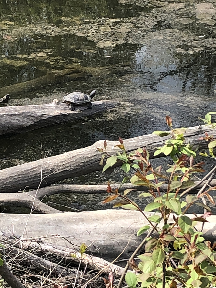
Southwest shoreline of Cooksville Creek. Logs and debris have gathered at this location.

Location created by
Korice Moir
- Group: Water Rangers : Guardians
- Lat: 43.5646426
- Lng: -79.5657778
- Waterbody Type: Creek
- Timezone: America/Toronto
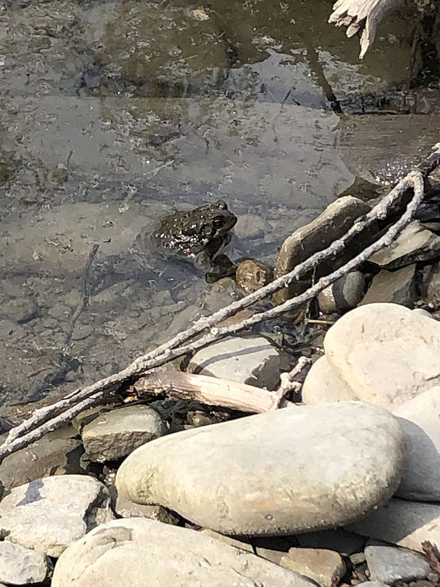
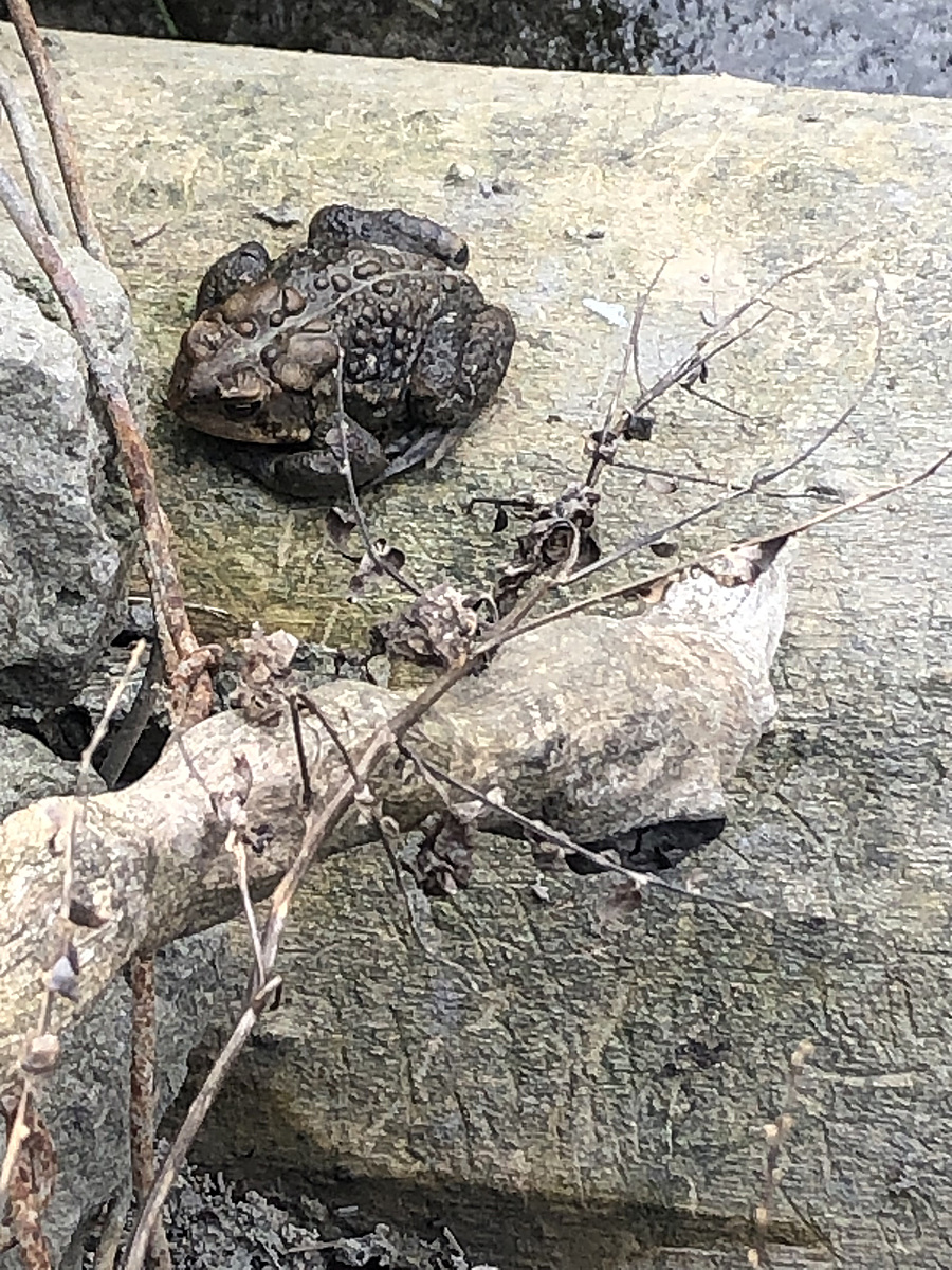
Latest photos
Observation tests summary
Air temperature
°C
14.0
Latest
14.0
Average
Water temperature
°C
18.0
Latest
18.0
Average
Alkalinity
mg/L
180
Latest
180
Average
Hardness
mg/L
250
Latest
250
Average
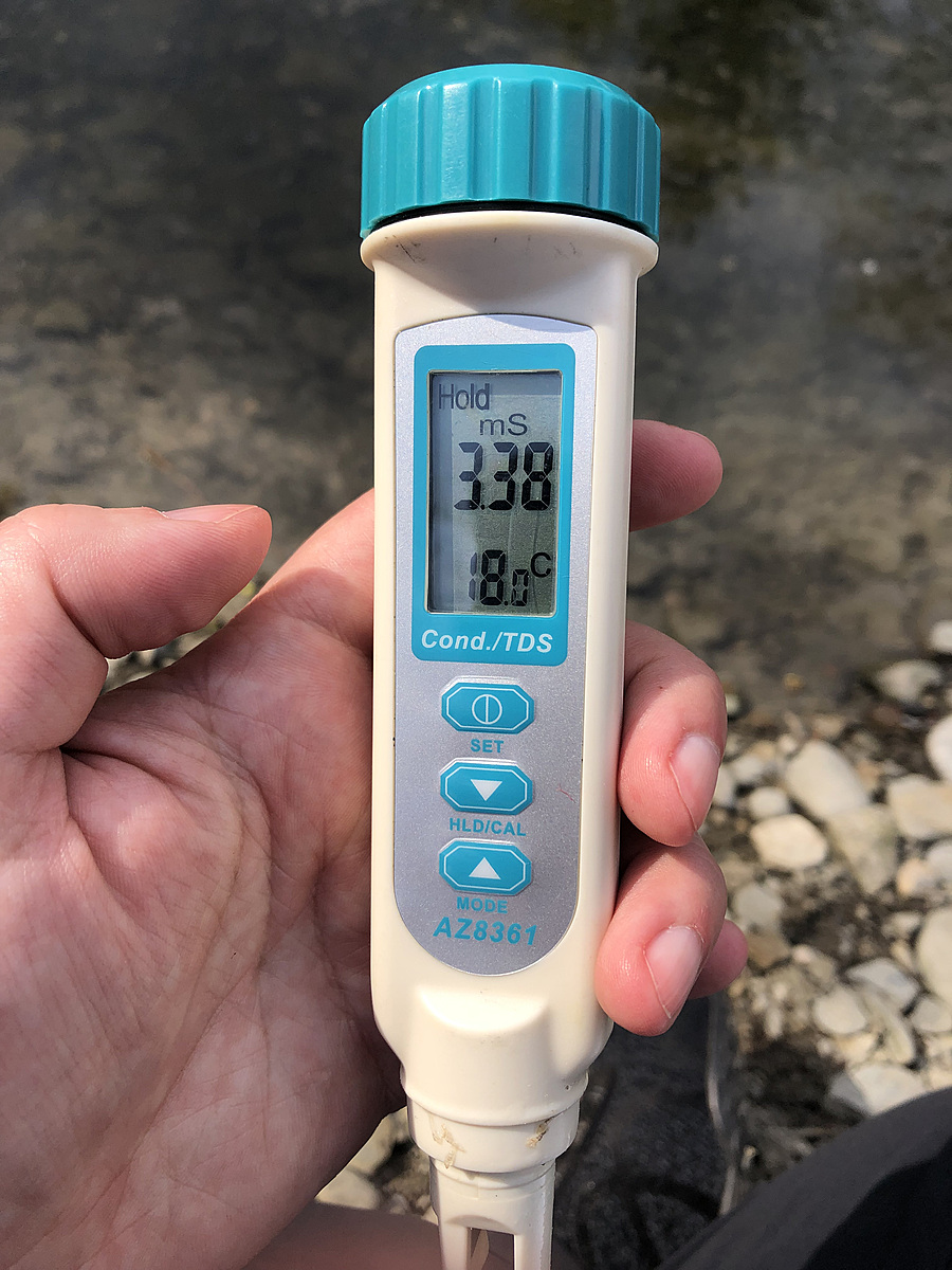
Conductivity
μS/cm
3380
Latest
3380
Average
Secchi depth
m
0.0
Latest
0.0
Average
Water depth
m
0.1
Latest
0.1
Average
pH (0-14)
8.4
Latest
8.4
Average