Wagg Creek
North Vancouver, British Columbia, Canada
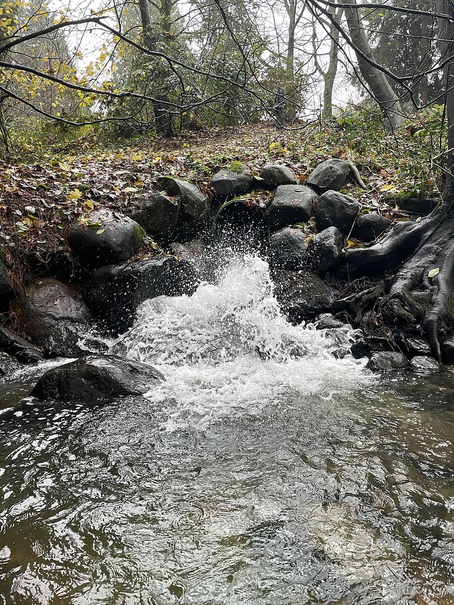
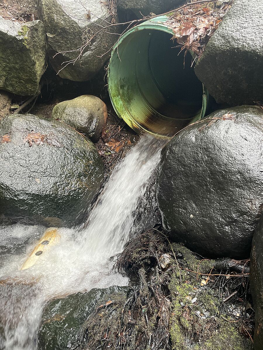
Large diameter corrugated metal storm pipe continually discharging a large volume of water into a pool created by rip rap.
The catchment for this pipe possibly extends above Hwy 1 to the east branch (Tempe Heights) of Wagg Creek; then southward bordered on east by Greenwood Park; down to E. 20th, including London Drugs and one block of Lonsdale. A large impervious catchment, noted as pipes over capacity in 2020 CNV/DNV ISMP.

Location created by
Carolynne Robertson
- Group: Stoney Creek Environment Committee : Road Salt and Salmon Project
- Lat: 49.3274659
- Lng: -123.0761003
- Waterbody Type: Stream
- Timezone: America/Vancouver
Latest photos
Observations summary
Observation tests summary
Air temperature
°C
9.3
Latest
16.4
Average
Water temperature
°C
9.8
Latest
12.8
Average
Alkalinity
mg/L
40
Latest
73
Average
Hardness
mg/L
50
Latest
25
Average
Chlorine
ppm
0.0
Latest
0.3
Average
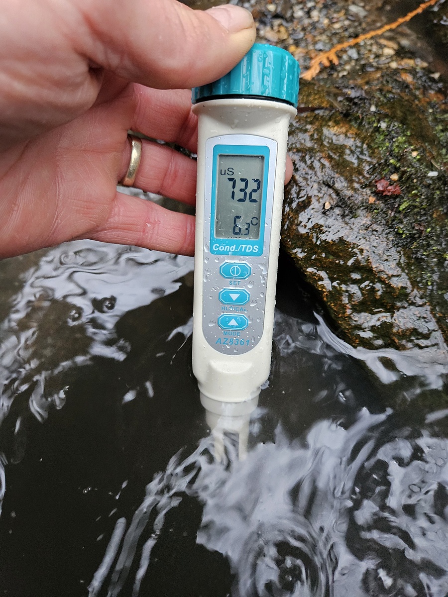
Conductivity
μS/cm
172
Latest
325
Average
pH (0-14)
6.4
Latest
7.2
Average
Total dissolved solids
ppm
361.0
Latest
361.0
Average