Strong River
Mendenhall, Mississippi, United States
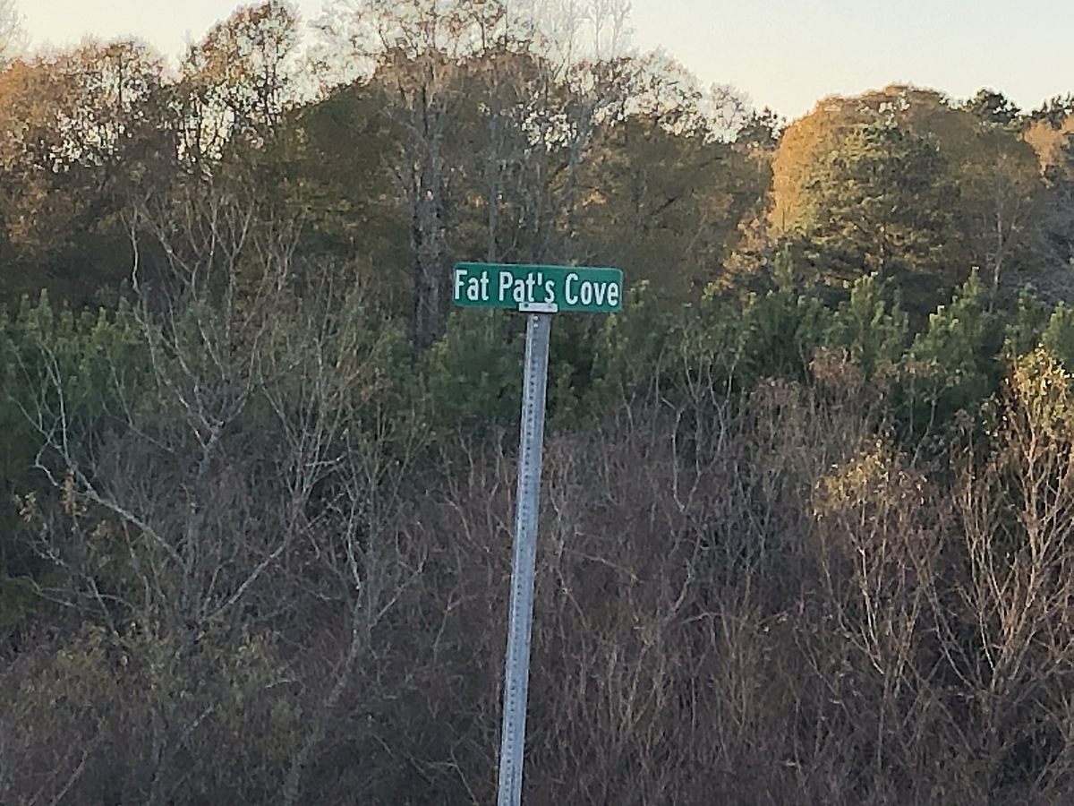
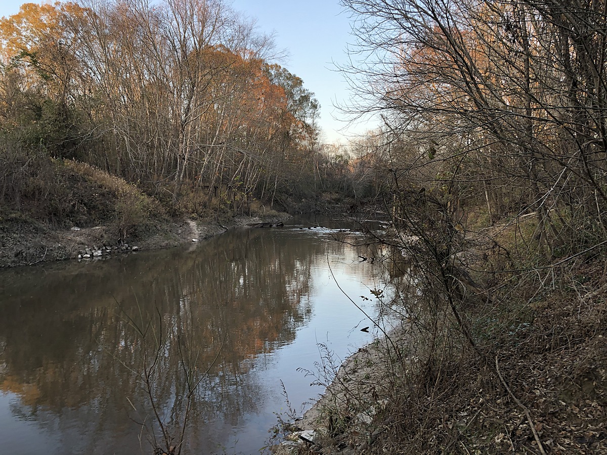
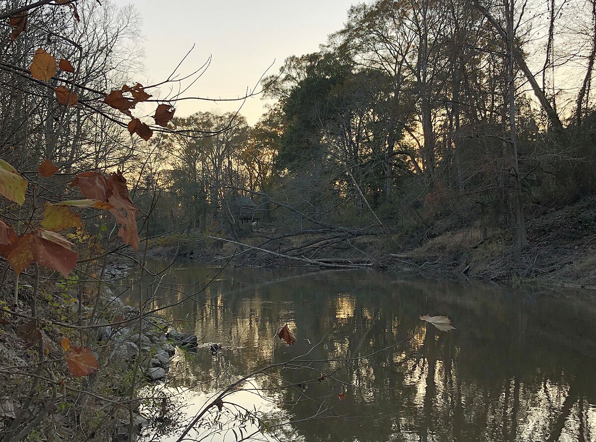
The Strong River is a left-bank tributary of the Pearl River in the Middle Pearl watershed. The Strong flows through and supports a popular water recreation area known as D'Lo Water Park. Handheld coordinates are 32.006561, -89.853657. It's very near Fat Pat's Cove, beneath a concrete bridge on Strong River Road. It lies 4-5 miles north of Mendenhall and west of Hwy 13.

Location created by
Karen Felder
- Group: Mississippi State University : Mississippi Water Stewards
- Lat: 31.9890779
- Lng: -89.8688289
- Waterbody Type: River
- Timezone: America/Chicago
Latest photos
There are currently no issues at this location.