
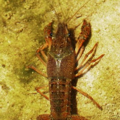
Moira River
Ontario, Canada
Location is a sandy/gravel shoreline with marsh that is used as a boat launch to the Moira River for recreational boaters, particularly kayaks and canoes. It has a steep gravel slope to the water's edge, and is below a busy bridge crossing the river with highway 37. To the east of the site is H.R. Frink Conservation Area. The river is moving steadily here and quite wide, but is slow enough for safe paddling of watercraft.

Location created by
Stacey Kerr
- Lat: 44.2765001
- Lng: -77.3655
- Waterbody Type: River
- Timezone: America/Toronto
Latest photos


Observations summary


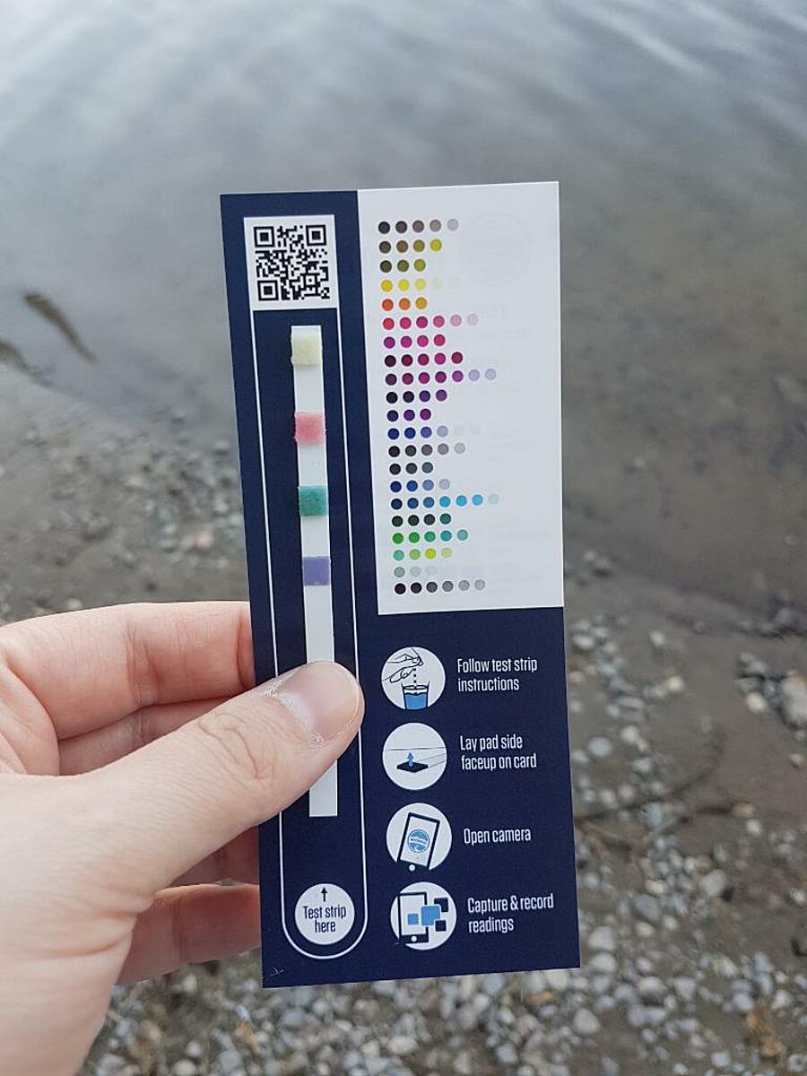
Observation tests summary
Air temperature
°C
27.0
Latest
27.0
Average
Water temperature
°C
27.0
Latest
27.0
Average
Alkalinity
mg/L
180
Latest
180
Average
Hardness
mg/L
100
Latest
100
Average
Chlorine
ppm
0.0
Latest
0.0
Average
pH (0-14)
8.1
Latest
8.1
Average