Ottawa River
Chute à Blondeau, Ontario, Canada
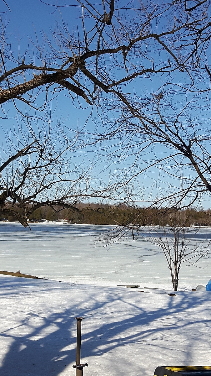
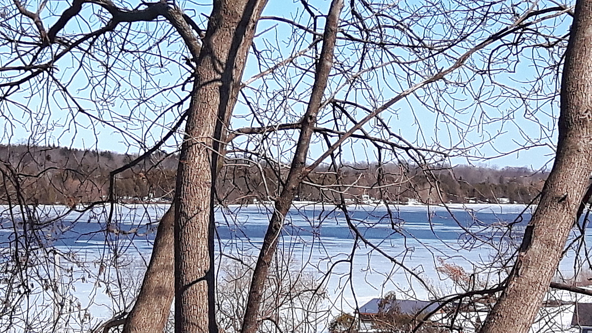
The Ottawa River just above the Carillon Dam and the reservoir called Lac dollard-des-ormeaux.
The water moves Eastward slowly. It is a boating recreational area just above voyageur Provincial Park.
Location created by
Inga Chisholm
- Group: County Sustainability Group
- Lat: 45.5890834
- Lng: -74.4677304
- Waterbody Type: River
- Timezone: America/Toronto
Latest photos

It's a beautiful Easter weekend. Lots of sunshine warm weather to come.
The shore ice lasts for about three weeks after the river ice is gone. It's good for walking along if you're wearing crampons.
You need to improvise in the winter. The ice gets thicker and thicker every month. 30 inches of ice took one hour to get through this month. We will buy a gas-powered Auger next year. I used a gulf Club to get to the river water below the ice. I duct-taped the cup to the bottom of it.
It was a challenge but I loved it.😁
You have to improvise in the winter. Pens freeze so you need pencils. When the ice gets to be 30 inches thick you need different equipment to get the cup to the river water. I also think we will buy a gas-powered Auger next year. It took us an hour to get through 30 in of ice today. 😐
That being said, it was invigorating and exciting. I will continue every month for as long as I can. 😁
My husband bought me an ice auger for Christmas. I'm glad he helped me drilled a hole. It was 18in of ice to get through.
The ice is thick enough on the shore for snowmobiles and ATVs now.
If you keep your pen in your pocket, it's warm enough to use for your notes.
The river froze right across to the other side in 24 hours.
The conductivity and total hardness are up quite a bit this December as compared to the summer and fall testing.
While winter testing I'll bring a pencil because both of my pens froze.
The air thermometer with the test kit doesn't seem to go past zero degrees so I will bring my own air temperature thermometer.
My mid-winter testing will be through an ice fishing hole.😁
The water seems healthy here. There are often hundreds of minnows swimming under and around the dock. There are also many families of ducks and geese that are spending the summer here. 😁