Ottawa River
Chute à Blondeau, Ontario, Canada
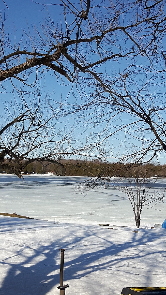
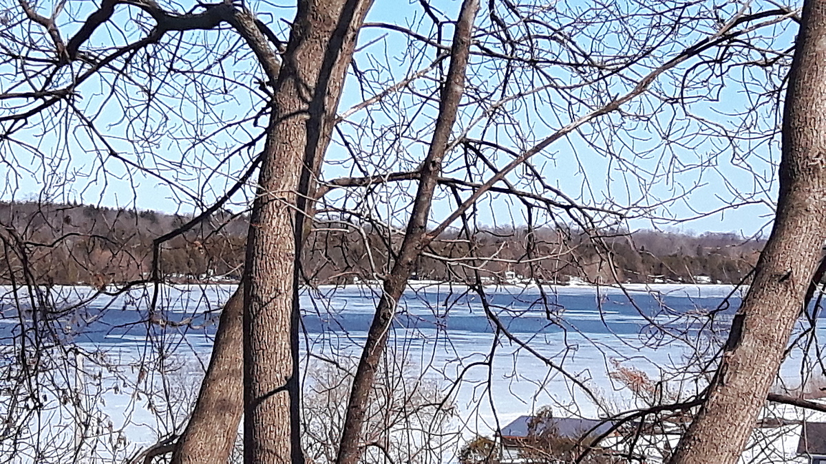
The Ottawa River just above the Carillon Dam and the reservoir called Lac dollard-des-ormeaux.
The water moves Eastward slowly. It is a boating recreational area just above voyageur Provincial Park.
Location created by
Inga Chisholm
- Group: County Sustainability Group
- Lat: 45.5890834
- Lng: -74.4677304
- Waterbody Type: River
- Timezone: America/Toronto
Latest photos

We have geese and duck families That come around and feel relatively safe here. I love having them around.
This location is on the Ottawa River just above the Carrion Dam. It takes a little longer for the ice to break up here even with the current because of the flow being blocked by the dam.
The next time I test, there should be a lot less ice if not, no ice. One can only hope.😁
Alkalinity changed from 4 mg/L to 40 mg/L by Jonas
Next month they'll be a lot more ice to get through to get to the water.
The next time I test will be through a hole in the ice.😁❄
We still had one length of dock in today. The next test will be from the shore and then perhaps from the ice the month after that.
Maybe two more months of testing before I have to break through the ice to test the water.
I had a little trouble with my new test strips when I did my observation.
Today I followed the directions on the bottle exactly and the numbers seem more normal.
The water very calm this morning. The sechi depth was more clear than usual.
It's being a beautiful spring so far.
There are some nesting geese with babies as well as mallards that didn't go any further north this year.