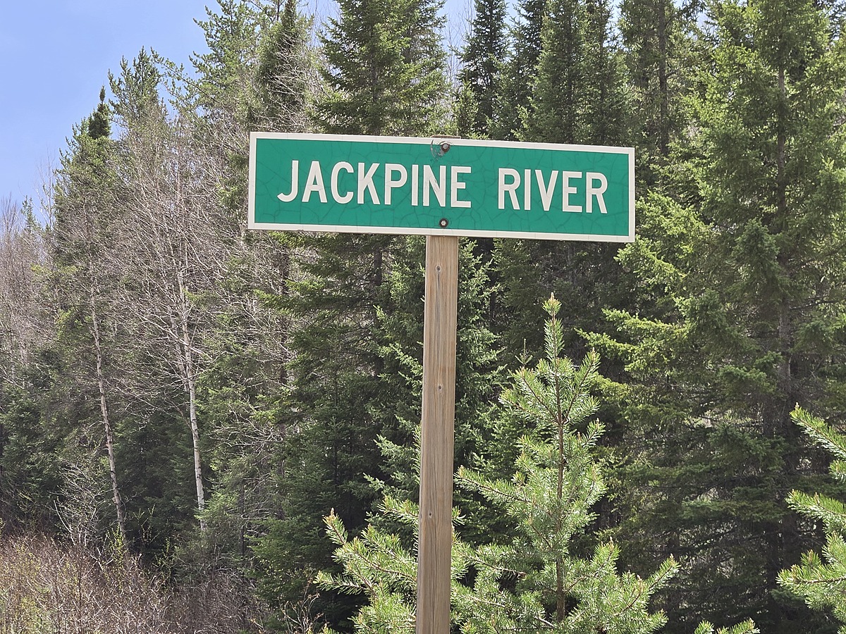
Jack Pine River @ HWY 651
Hawk Junction, Ontario, Canada
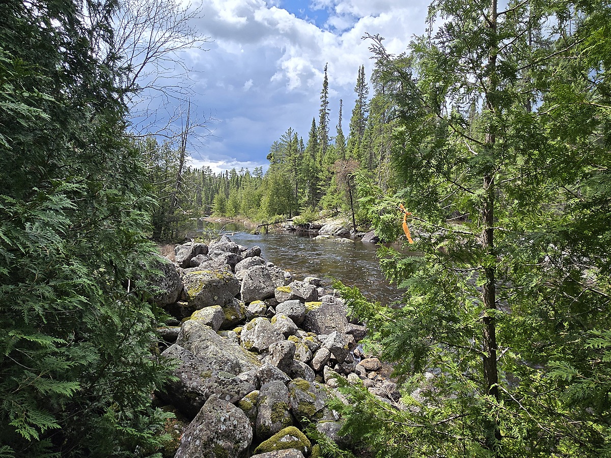
This is the first river crossing while heading north on HWY 651
Please use the photos to determine the exact location for performing water sampling.
There is a trail cut on the south east side, including orange flags to guide us.

Location created by
Ty Hourtovenko
- Group: Missanabie Cree First Nation : Dog Lake Head Waters Monitoring Program
- Site ID: JPR - HWY651
- Lat: 48.0061149
- Lng: -84.1168857
- Waterbody Type: River
- Timezone: America/Toronto
Latest photos


Observations summary

Observation tests summary
Air temperature
°C
26.5
Latest
24.8
Average
Water temperature
°C
16.2
Latest
16.8
Average
Alkalinity
mg/L
45
Latest
48
Average
Hardness
mg/L
0
Latest
0
Average
Dissolved oxygen
mg/L
9.5
Latest
9.3
Average
Chlorine
ppm
0.0
Latest
0.0
Average
Conductivity
μS/cm
32
Latest
37
Average
Secchi depth
m
0.0
Latest
0.0
Average
Water depth
m
0.3
Latest
0.3
Average
pH (0-14)
7.0
Latest
7.1
Average