Columbia River
Castlegar, British Columbia, Canada
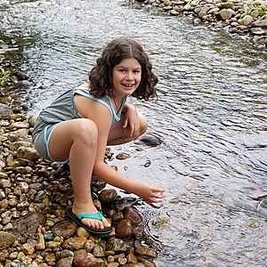
This creek is a tributary to the Columbia River and flows throughout the year. It varies from 20-30 cm in depth in the center during the summer months. There is no danger - you access the testing location after the bridge at the beginning of Robson. Take a right into the Pass Creek Fairgrounds overflow parking field and walk to the water.

Location created by
Celina Duarte
- Group: Castlegar Columbia River Water Keepers : Friends and Colleagues
- Site ID: Robson Bridge
- Lat: 49.3116704
- Lng: -117.6526397
- Waterbody Type: River
- Timezone: America/Vancouver
Latest photos
View all photosObservation tests summary
Air temperature
°C
25.0
Latest
22.5
Average
Water temperature
°C
17.0
Latest
15.9
Average
Alkalinity
mg/L
40
Latest
20
Average
Hardness
mg/L
0
Latest
25
Average
Dissolved oxygen
mg/L
10.0
Latest
9.5
Average
Chlorine
ppm
0.5
Latest
0.4
Average
Conductivity
μS/cm
44
Latest
29
Average
Water depth
m
0.1
Latest
0.1
Average
pH (0-14)
6.8
Latest
6.8
Average


