Columbia River
Castlegar, British Columbia, Canada
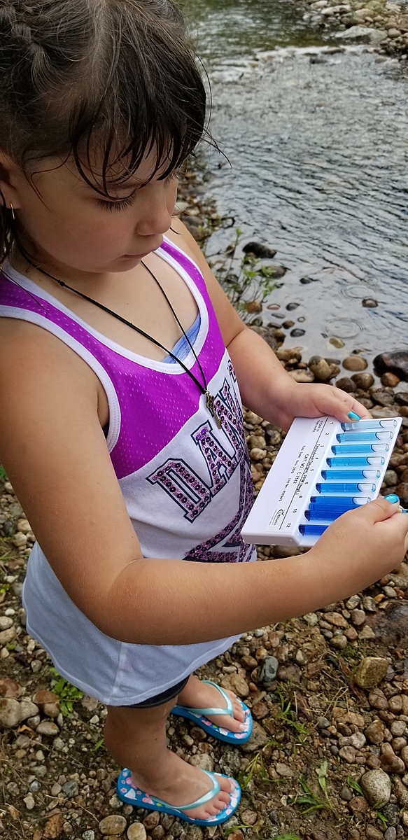
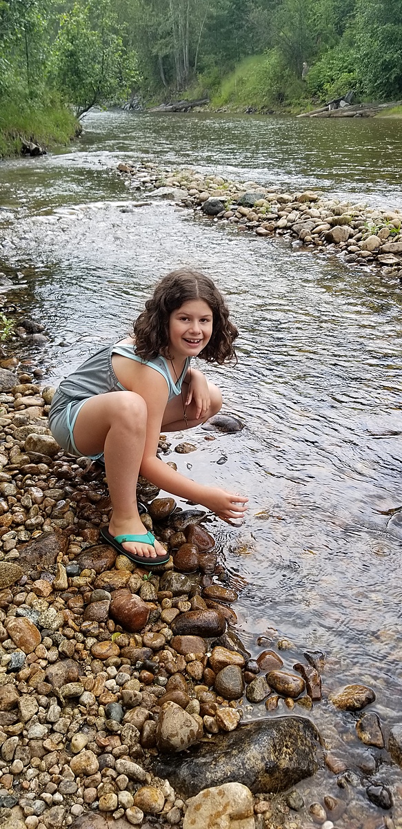
This creek is a tributary to the Columbia River and flows throughout the year. It varies from 20-30 cm in depth in the center during the summer months. There is no danger - you access the testing location after the bridge at the beginning of Robson. Take a right into the Pass Creek Fairgrounds overflow parking field and walk to the water.
Location created by
Celina Duarte
- Group: Castlegar Columbia River Water Keepers : Friends and Colleagues
- Site ID: Robson Bridge
- Lat: 49.3116704
- Lng: -117.6526397
- Waterbody Type: River
- Timezone: America/Vancouver
Latest photos
I forgot to take photos this time!
Missed the July 30 observation, so made it up on the 12th August. We had to move into the creek by around 3 feet due to the water level dropping - despite 2-3 recent heavy thunderstorms.
I didn't realize that the testing date was for the last Sunday of each month.