
Mill Creek
Orillia, Ontario, Canada
TThis site is located just downstream of the Mill Creek Bridge.
Mill Creek is part of the Oro Creek North sub watershed of the Lake Simcoe Watershed. Mill Creek makes its way through Scout Valley, under Hwy 11, through a Provincially Significant Wetland, and then merges with "Ben's Ditch" before flowing into Lake Simcoe beside the City of Orillia Landfill.
This location is frequented by off leash dogs.
This site has been monitored by trained volunteers since 2016. No data collected in 2021.

Location created by
Couchiching Conservancy
- Group: Couchiching Conservancy : Community Science Water Monitoring Program
- Site ID: WQ64
- Lat: 44.5822913
- Lng: -79.4484043
- Waterbody Type: Stream
- Timezone: Canada/Eastern
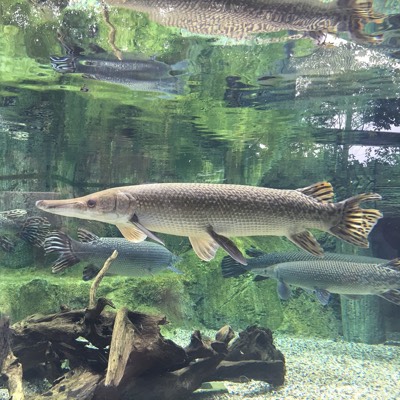
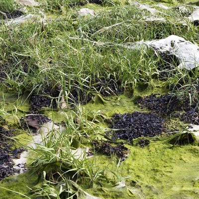
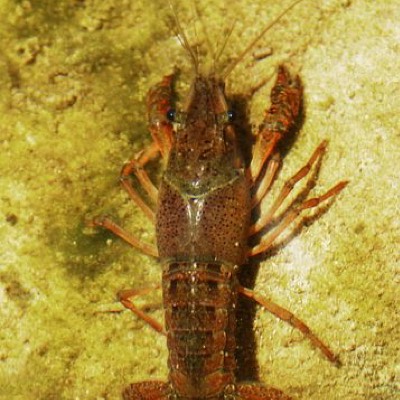
Latest photos
Observations summary


Observation tests summary
Air temperature
°C
9.0
Latest
9.6
Average
Water temperature
°C
8.5
Latest
9.5
Average
Water depth
m
0.1
Latest
0.2
Average
Alkalinity
mg/L
205
Latest
214
Average
Nitrates
mg/L
0.0
Latest
0.0
Average
Dissolved oxygen
mg/L
6.0
Latest
8.5
Average
Phosphates total
ppm
0.0
Latest
0.0
Average
Turbidity
JTU
0
Latest
1
Average
pH (0-14)
8.5
Latest
7.7
Average
Chloride
ppm
80.0
Latest
84.3
Average