
Talbot River
Ontario, Canada
This site is located along Talbot River and is just downstream of Raven Lake, a shallow lake known for its marl lake bottom visible in satellite photos. Marl is a precipitate that forms on the bottom of the lake because of a reaction between groundwater and lake water. If not for a beaver dam at the south end of the lake, Raven Lake would likely be a bulrush marsh. By the time this water gets to our next site at Upton Bridge, it has merged with the cold waters of Perch Creek.
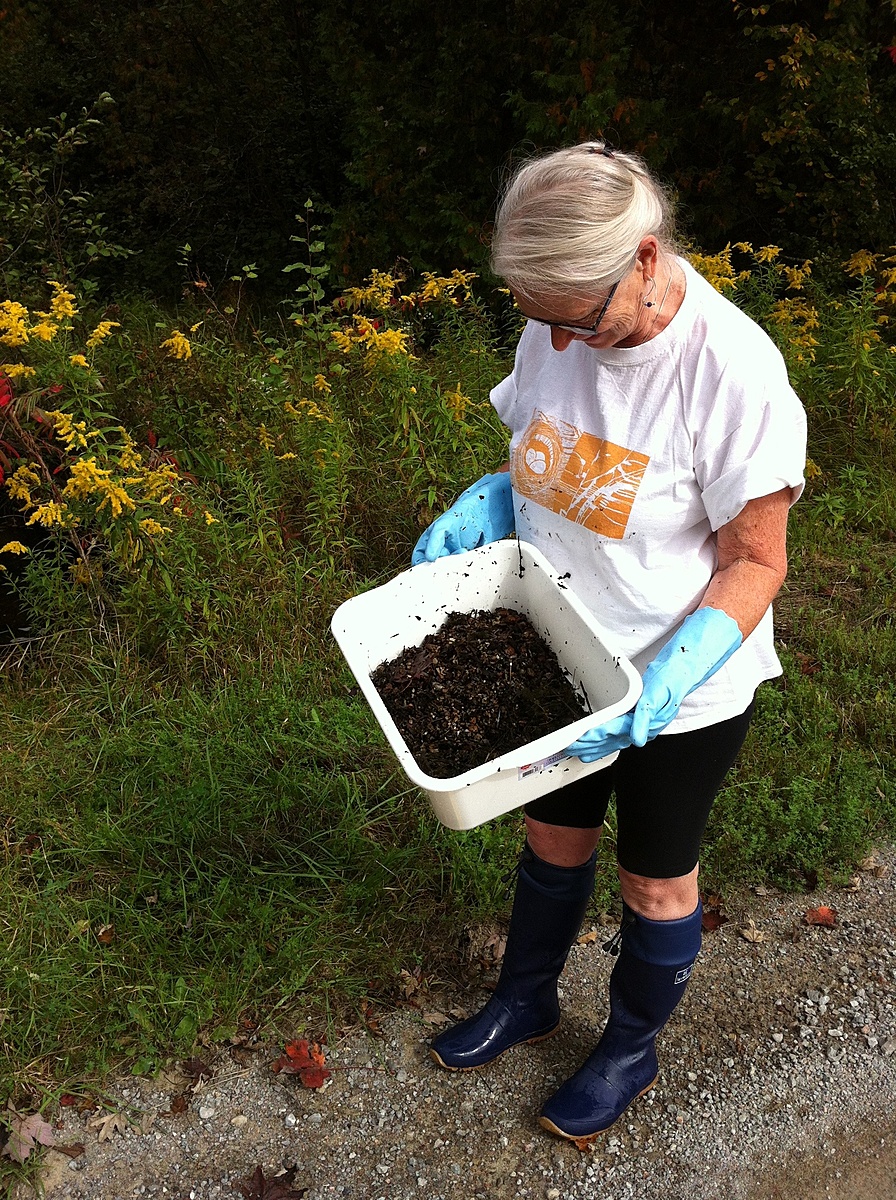
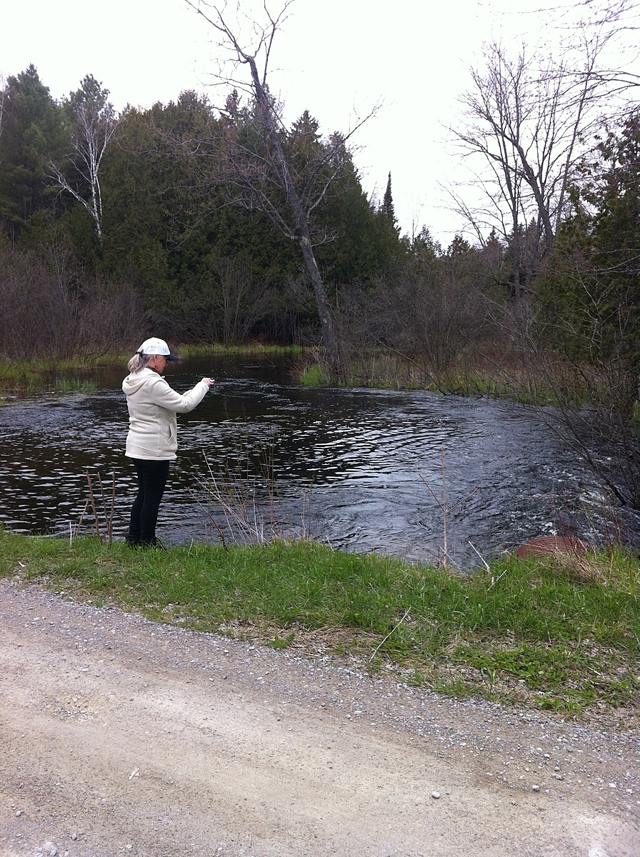
This site was monitored by Couchiching Conservancy volunteers 2015-2019.

Location created by
Couchiching Conservancy
- Group: Couchiching Conservancy : Community Science Water Monitoring Program
- Site ID: WQ04
- Lat: 44.6285195
- Lng: -78.9266396
- Waterbody Type: River
- Timezone: America/Toronto
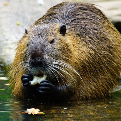
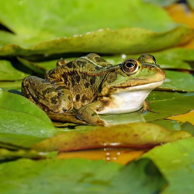
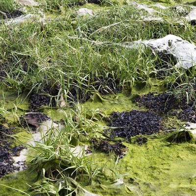
Latest photos

Observations summary

Observation tests summary
Air temperature
°C
15.5
Latest
19.4
Average
Water temperature
°C
12.5
Latest
14.7
Average
Alkalinity
mg/L
132
Latest
135
Average
Nitrates
mg/L
0.0
Latest
0.4
Average
Dissolved oxygen
mg/L
7.8
Latest
6.6
Average
Phosphates total
ppm
0.0
Latest
0.0
Average
Turbidity
JTU
0
Latest
1
Average
pH (0-14)
7.0
Latest
7.8
Average
Water depth
m
0.5
Latest
0.3
Average