Bear Creek
Ontario, Canada
This site is located along Bear Creek as it enters the Deadman Easement after passing through nearby agricultural land.
There is a steep slope to get down to the creek. Please use caution when approaching this site.
This site has been monitored by Couchiching Conservancy volunteers since 2018. No data collected in 2021.

Location created by
Couchiching Conservancy
- Group: Couchiching Conservancy : Community Science Water Monitoring Program
- Site ID: WQ44
- Lat: 44.7226006
- Lng: -79.5789013
- Waterbody Type: Creek
- Timezone: America/Toronto
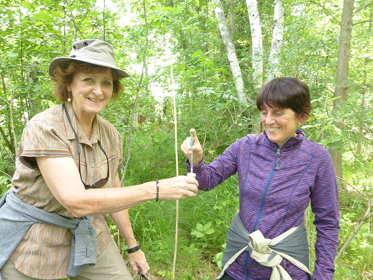
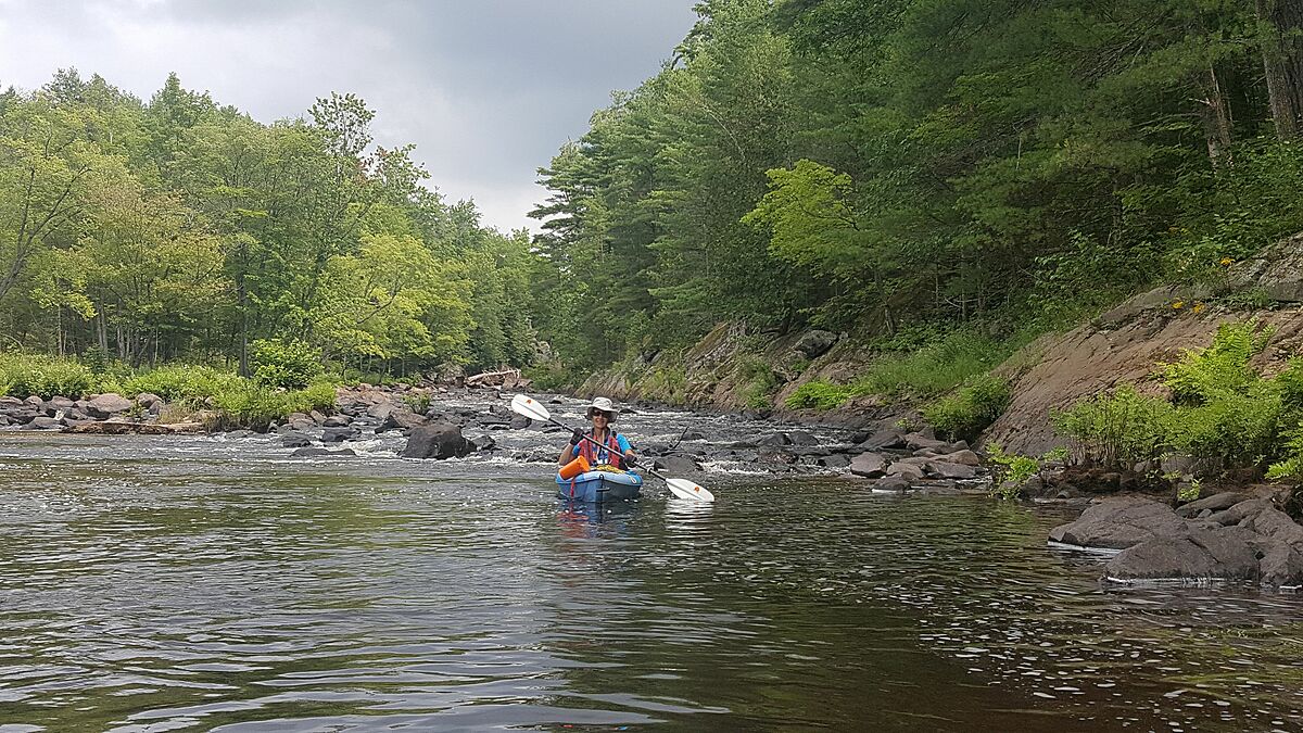
Latest photos
Observations summary


Observation tests summary
Air temperature
°C
8.0
Latest
19.7
Average
Water temperature
°C
11.0
Latest
15.6
Average
Alkalinity
mg/L
236
Latest
235
Average
Nitrates
mg/L
0.1
Latest
0.2
Average
Dissolved oxygen
mg/L
8.2
Latest
7.4
Average
Chloride
ppm
36.0
Latest
37.3
Average
Phosphates total
ppm
0.0
Latest
0.2
Average
Water depth
m
0.3
Latest
0.4
Average
Turbidity
JTU
0
Latest
21
Average
pH (0-14)
8.0
Latest
7.6
Average