Perch Creek
Ontario, Canada
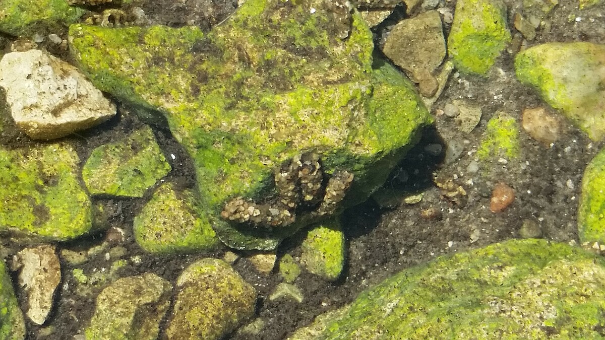
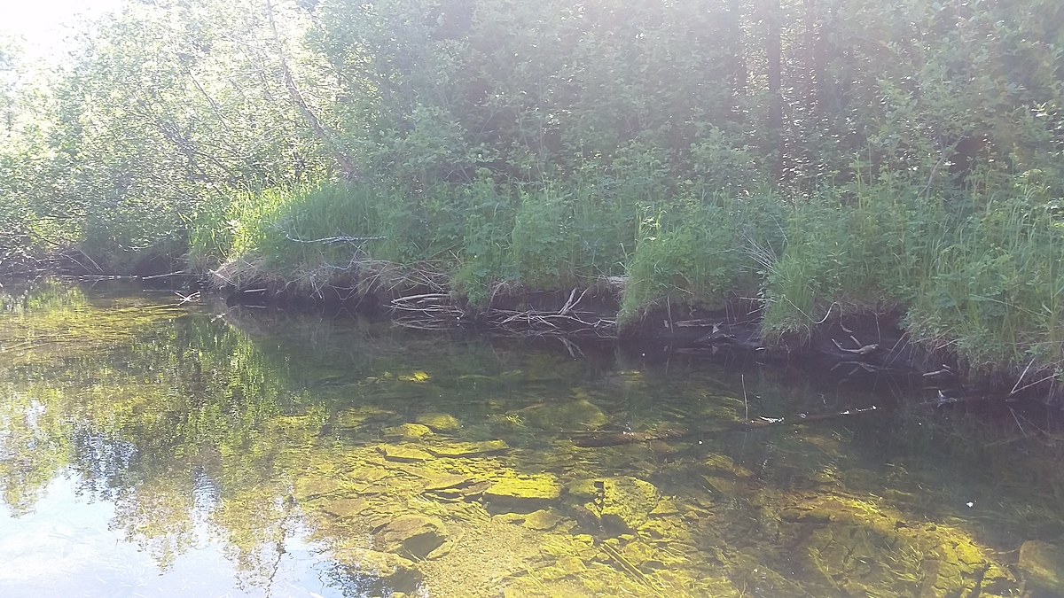
Wider section of Perch Creek, downstream of Perch Lake and a number of ranches. Testing takes place just downstream of the bridge at Doyle Road. This is a roadside site. The water is tested close to a riffle area in the stream.
This site has been tested by trained community scientists since 2015.

Location created by
Couchiching Conservancy
- Group: Couchiching Conservancy : Community Science Water Monitoring Program
- Site ID: WQ03
- Lat: 44.6398494
- Lng: -78.9228415
- Waterbody Type: Creek
- Timezone: America/Toronto
Latest photos
There are currently no issues at this location.