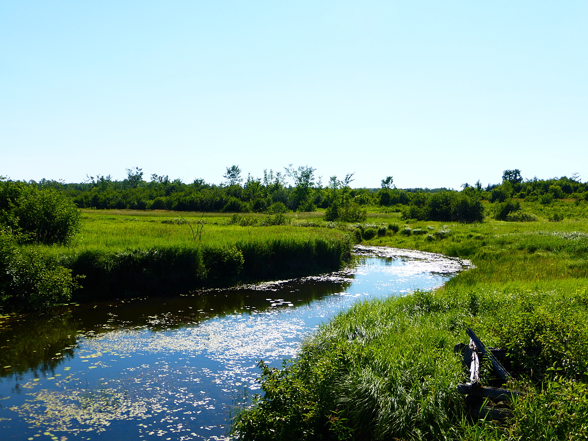
McGee Creek
Ontario, Canada
A wide, slow-moving section of McGee Creek before it flows into Canal Lake. Testing site is down the bank from Centennial Park Road, just beside the bridge over the creek.
Location created by
Meagan Coughlin
- Group: Couchiching Conservancy : Community Science Water Monitoring Program
- Site ID: WQ10
- Lat: 44.5961208
- Lng: -79.0476608
- Waterbody Type: Creek
- Timezone: America/Toronto
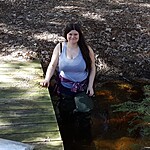
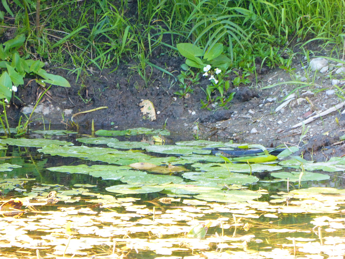
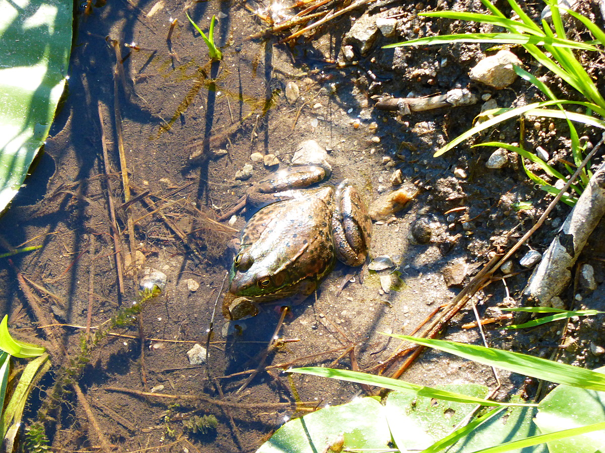
Latest photos
There are currently no issues at this location.