Stormwater drain south of 23rd St and west of Chesterfield - WAG-E-07 High Priority
North Vancouver, British Columbia, Canada
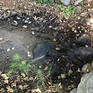
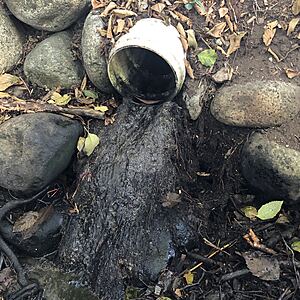
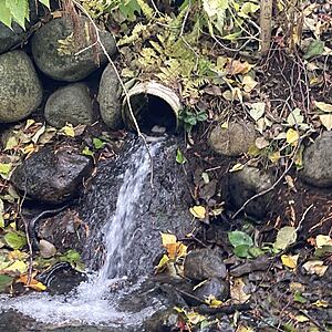
location of WAG-E-07 using zoom on web app. West of Chesterfield and south of 23rd St. a storm drain emerges and then joins the west branch of Wagg Creek from the east. Here a white plastic storm pipe of 0.21m inside diameter comes in from the east about 15m east of the creek. Low energy location. Field measured GPS coordinates in NAD83 are -123.0757406, 49.32946420 in Long and Lat, or UTM 494,497E, 5,464,085N . MISMATCH with CNVGIS mapping which has a 915 CONC Storm pipe here.

- Site ID: WAG-E-07
- Lat: 49.3293594
- Lng: -123.0755853
- Waterbody Type: Unknown
- Timezone: America/Vancouver
Latest photos
View all photosnew sod
water is flowing faster then usual
water is a bit cloudy
frothy bubbles
City has cleared out most of the blackberry that used to surround part of the area around the storm pipe.
Water is stagnant. Unpleasant odor like animal feces. Very low water level. Lots of water strider insects.
Small trickle from pipe. The pool is very small (mostly evaporated).
water clear today
Trees and shrubs grown in: more shade. Water clear.


