End of Porters River
Louisiana, United States
Porters river is approximately 2.5 - 3 miles long. It is fed from the West Pearl River just below Interstate 59 in Pearl River, Louisiana. Its water returns into the West Pearl River.
The water flow is controlled by the West Pearl River and can be monitored from the National Water Prediction Service (NWPS) web site ID #NWSLI: PERL1, Reach ID: 15714333
Permanent residents, primitive camps, and boat houses can be found along the river but mostly you will find wooded banks.
Although the water is fed from the WPR there is drainage from residential/neighborhood, small business, light industry and woodland.

Location created by
Kevin Olsen
- Group: Mississippi State University : Mississippi Water Stewards
- Lat: 30.3340834
- Lng: -89.7085619
- Waterbody Type: River
- Timezone: America/Chicago
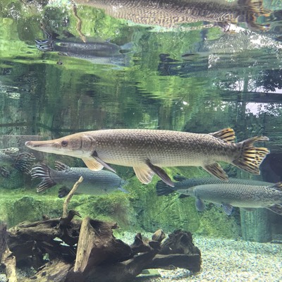
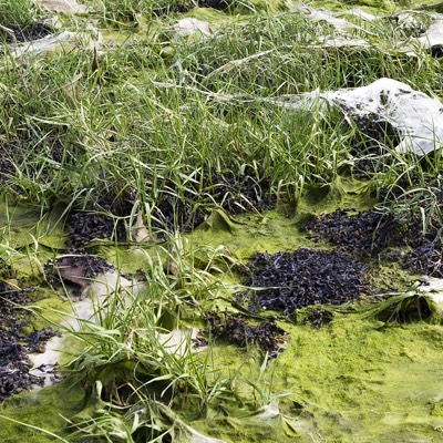
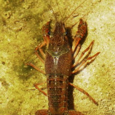
Latest photos


Observations summary


Observation tests summary
Air temperature
°C
30.0
Latest
31.8
Average
Water temperature
°C
31.0
Latest
29.6
Average
E.coli
cfu per 100mL
0
Latest
55
Average
Total coliform
ppm
3666
Latest
3666
Average
Total coliform
cfu per 100mL
5567
Latest
4687
Average
Water flow
l/sec
26.0
Latest
26.0
Average
Incubation temperature
°C
37.2
Latest
36.2
Average
Other coliform
cfu per 100mL
5567
Latest
4545
Average
River stage
feet
6.0
Latest
8.6
Average
Incubation time
(hours)
24.0
Latest
23.5
Average