Napanee River (between Yarker and Camden East)
Ontario, Canada
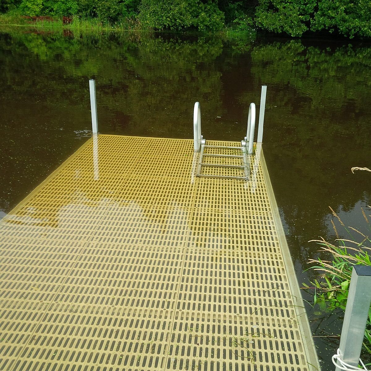
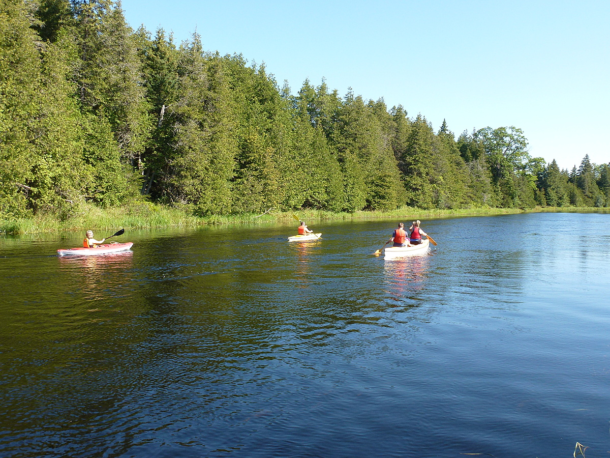
Clear, slow moving water throughout the year and approximately 6-7 feet in depth throughout the Summer. The river is approximately 80 feet across at this location. Perfect recreation area for swimming, canoeing, and kayaking.
Small (but portage-able) rapids 1/2 km upstream and 1 km downstream.
Major falls at Yarker and Newburgh, otherwise the river is navigable from the beginning of the Napanee Watershed at the Depot Lakes in the north to the end of the watershed flowing into the Bay of Quinte at the town of Napanee.
Location created by
Lawrence O'Keeffe
- Group: Friends of the Napanee (Ontario, Canada)
- Lat: 44.3591291
- Lng: -76.784842
- Waterbody Type: River
- Timezone: America/Toronto
Latest photos

Clear and hot today with probability of rain tomorrow ... the first since 14 September. Quinte Conservation Authority still has the region under a low water warning. Despite little rain over the Summer in this area of the Napanee Watershed, the river level has maintained a “normal” Summer depth.
The Taylor Spa test strips do not record accurately. For example, the strip showed TH as 0 today, and so I used the old test strips to get an accurate reading.
There has been significant rain (2+ inches) over the last two days as aftereffects from Hurricane Laura. As a result, the river level has gone up at least 2", and the underground spring, which went dry about 2 months ago and which feeds our large pond, has started running again.
The Napanee River has hit the normal summer low depths in our area, and with the very hot weather and little rain, the algae is starting to accumulate along the rivers edge.
No rain for the last 3+ weeks.... a drought is likely at the current rate.
Napanee River water level is at the normal summertime low .... almost 4 weeks early.
No algae at this point.
Water levels are down over past years at this time of Spring, and the water level is about 4 inches above the normal Summer depth. We started swimming this past week with water temperatures fluctuating between 20-24C.
The Painted Turtles are out, and the young ones are active. We have seen the return of dozens of dragonflies over the last several days. The birds are certainly active at this time ... Ruby-throated hummingbirds, American Goldfinches, Baltimore Orioles to name a few. The migrating ducks which we see every year (Mergansers, Wood Ducks, Buffleheads, etc.) have all pretty much moved on to the north. We were fortunate to see a "herd" of 8 Common Mergansers hanging around over the last couple of weeks. This is extremely uncommon here as we normally only see mated pairs on the river.
Saw a pair of Hooded Mergansers while testing. Water is running fast and is about 28 inches over normal summer depth. The river only froze over twice this winter which is very abnormal. The river was partially open almost all winter.
Algae levels are well down over the last two days which may be due to the cool nights. Water levels are at the summer low and there’s only been 3 mm of rain over the last two weeks. Lots of frogs over the last two weeks.
Hot and dry over last several weeks. NO rain since early June. River temperature lower than normal (high 20's) because of cooler nights (~13-15 C).
As a result, algae is MUCH less prevalent than normal at this time of year.
Dragonflies are back in abundance, and thankfully, honey bees are very numerous in our trefoil fields.
All of my phosphorous test sites (Test Sites 1,2, and 3) are dry because of the lack of rain.
Clear and very strong winds from the SW. Test conducted 5 hours after a rainstorm.
River level about 1' about normal Summer level - dropping on average 1-2" per day. Much less than normal runoff and lower water levels than previous years.
First test of the season because major rainfalls predicted over the next few days. Cloudy most of the day.