Brunette River Watershed
Burnaby, British Columbia, Canada
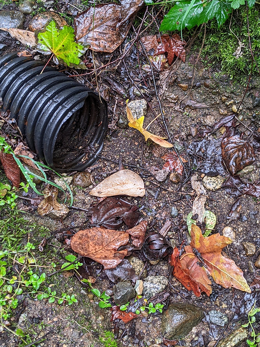
Small stream fed by seepage from the Cariboo Heights Forest

Location created by
Utta Gagel
- Group: Stoney Creek Environment Committee : Road Salt and Salmon Project
- Lat: 49.2426168
- Lng: -122.906326
- Waterbody Type: Stream
- Timezone: America/Vancouver
Latest photos


Observation tests summary
Air temperature
°C
4.5
Latest
9.7
Average
Water temperature
°C
7.2
Latest
7.4
Average
Total dissolved solids
ppm
12.0
Latest
16.1
Average
Conductivity
μS/cm
24
Latest
25
Average
Water depth
m
0.0
Latest
0.0
Average
Alkalinity
mg/L
0
Latest
23
Average
Hardness
mg/L
0
Latest
0
Average
Chlorine
ppm
0.0
Latest
0.0
Average
pH (0-14)
7.0
Latest
6.5
Average