Brunette River Watershed
Burnaby, British Columbia, Canada
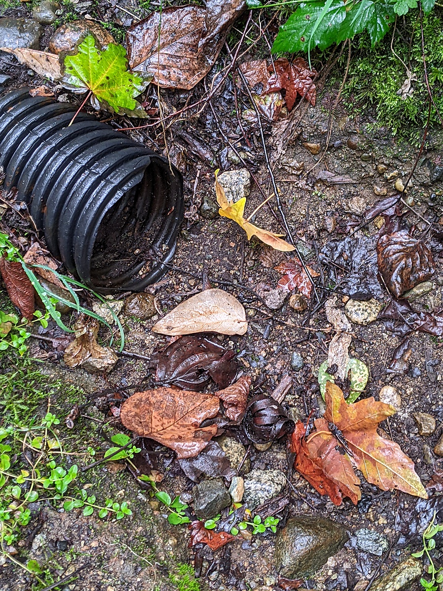
Small stream fed by seepage from the Cariboo Heights Forest

Location created by
Utta Gagel
- Group: Stoney Creek Environment Committee : Road Salt and Salmon Project
- Lat: 49.2426168
- Lng: -122.906326
- Waterbody Type: Stream
- Timezone: America/Vancouver
Latest photos


Brunette River Watershed : Seep, Cariboo Heights Forest, Burnaby, BC
Observed on
2025-01-06
Brunette River Watershed : Seep, Cariboo Heights Forest, Burnaby, BC
Observed on
2024-12-03
Brunette River Watershed : Seep, Cariboo Heights Forest, Burnaby, BC
Observed on
2024-09-26
Brunette River Watershed : Seep, Cariboo Heights Forest, Burnaby, BC
Observed on
2024-08-13
Brunette River Watershed : Seep, Cariboo Heights Forest, Burnaby, BC
Observed on
2024-03-22
Brunette River Watershed : Seep, Cariboo Heights Forest, Burnaby, BC
Observed on
2024-02-21
Brunette River Watershed : Seep, Cariboo Heights Forest, Burnaby, BC
Observed on
2024-01-19
Brunette River Watershed : Seep, Cariboo Heights Forest, Burnaby, BC
Observed on
2023-12-31
Brunette River Watershed : Seep, Cariboo Heights Forest, Burnaby, BC
Observed on
2023-11-10
Brunette River Watershed : Seep, Cariboo Heights Forest, Burnaby, BC
Observed on
2023-09-27
Seep is dry.