
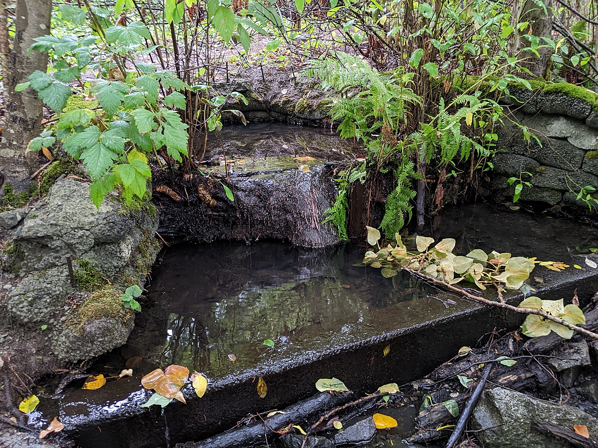
Brunette River Drainage
Burnaby, British Columbia, Canada

Location created by
Utta Gagel
- Group: Cariboo Heights Forest Preservation Society : Road Salt in Urban Creeks Project
- Lat: 49.2364105
- Lng: -122.895957
- Waterbody Type: Creek
- Timezone: America/Vancouver
Latest photos


Observations summary

Observation tests summary
Air temperature
°C
4.9
Latest
11.0
Average
Water temperature
°C
5.3
Latest
10.5
Average
Total dissolved solids
ppm
54.0
Latest
255.6
Average
Conductivity
μS/cm
108
Latest
474
Average
Alkalinity
mg/L
40
Latest
62
Average
Hardness
mg/L
50
Latest
100
Average
Chlorine
ppm
0.0
Latest
0.1
Average
Water depth
m
0.1
Latest
0.1
Average
pH (0-14)
7.2
Latest
6.8
Average