Pipestone Creek
Saskatchewan, Canada
Fairly shallow creek bed with eroded clay and silt banks eroding into upper Cretaceous Shale bedrock. some stones and boulders. Meandering Creek within incised glacial outwash channel. Ample unmitigated, agricultural drainage cumulative additional fluid contributions.

Location created by
Clint and Jody Blyth
- Site ID: Site-1 49.9916374-1015375885
- Lat: 49.9912979
- Lng: -101.5371895
- Waterbody Type: Creek
- Timezone: America/Regina
Latest photos
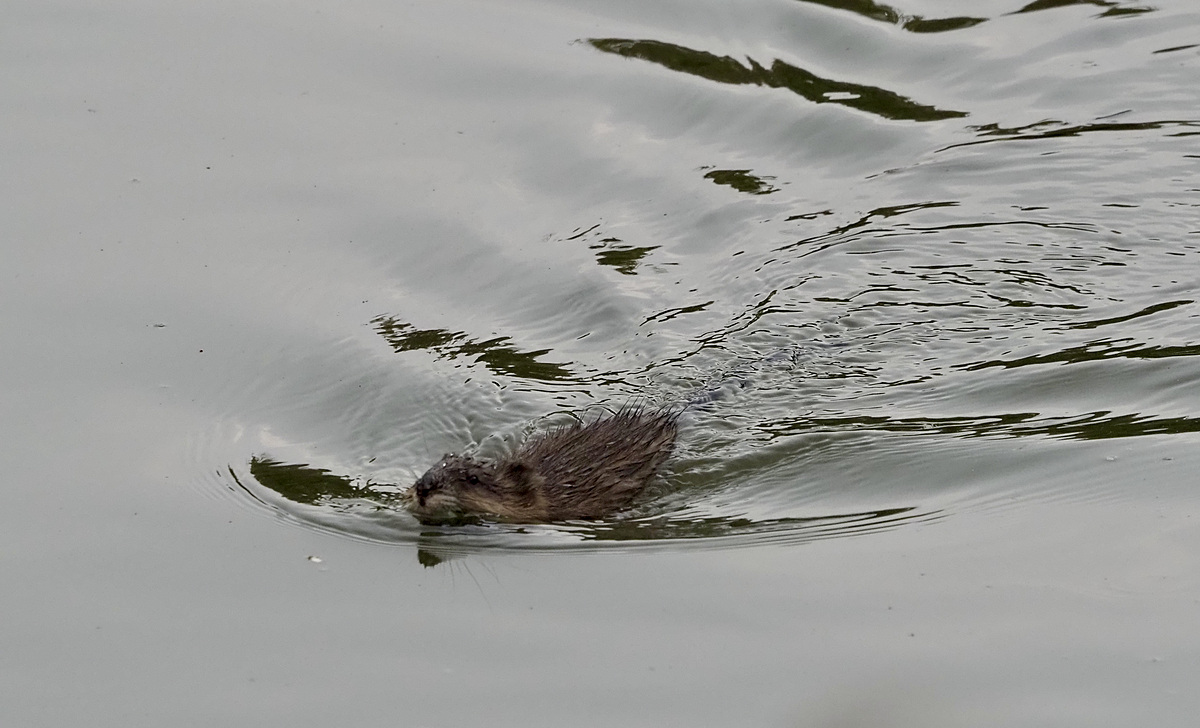
Newly supplied test kits are not indicating any nitrate or phosphate?? Considerable filamentous algae. One large snapping turtle supervised sampling process.
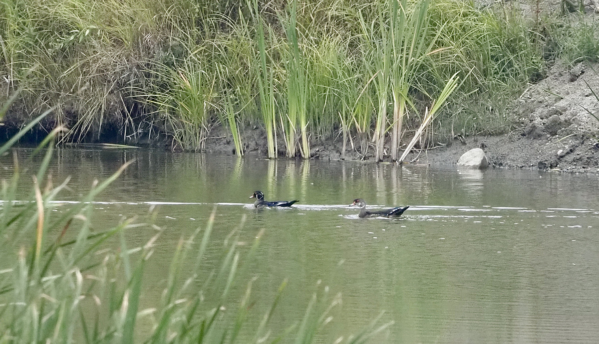
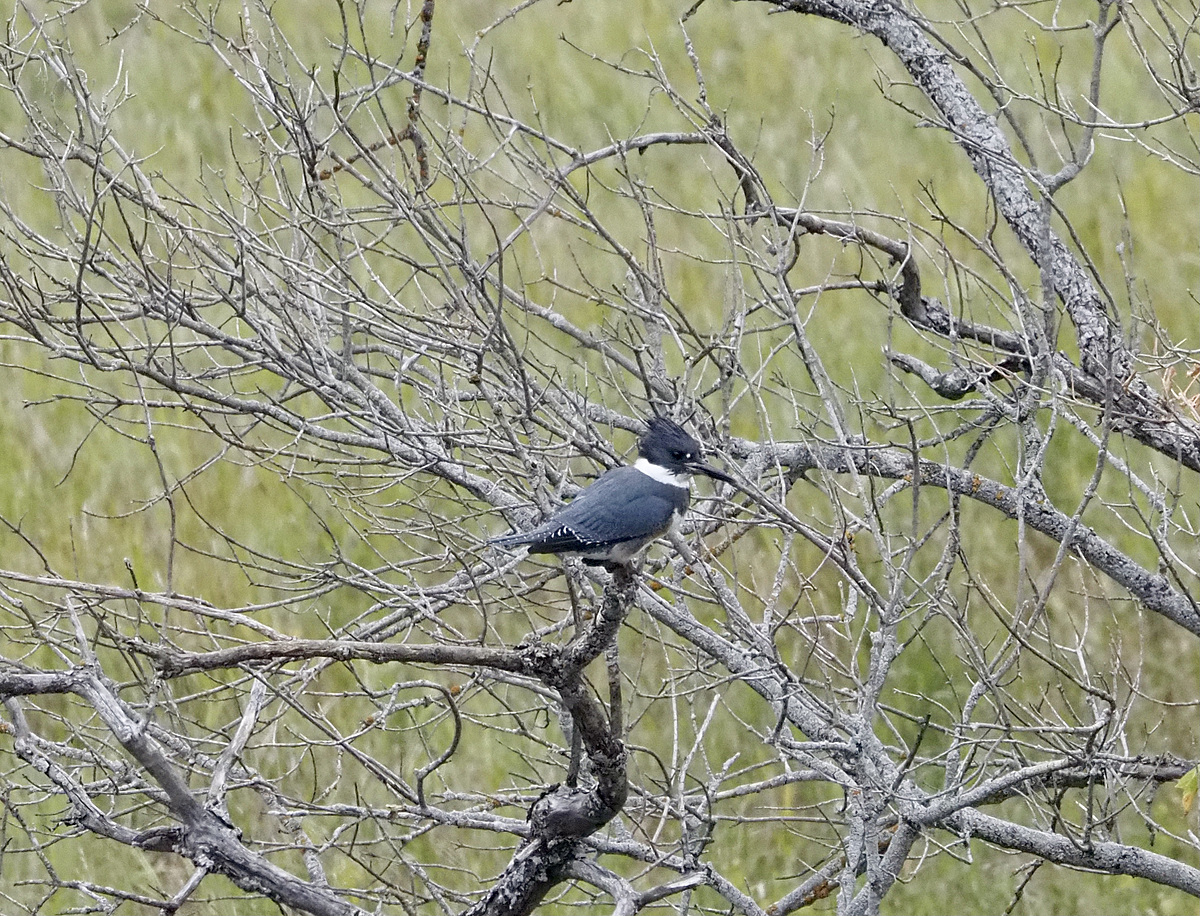
leopard frogs, western painted turtles, greater yellow legs, spotted sandpipers, damsel flies, small fish rising
Note: new nitrogen test kit registered no nitrates. New phosphate test kits registered no phosphate. old test kit registered 0.2ppm
nitrate<.1
artificial release started three days prior from
Moosomin reservoir upstream at 1.5m3/sec.
Algae growth more noticeable this year.
medium high flow rate dropped 1.2m recently. high sediment load. nityatre <1, phosphate <.05. Significant agricultural drainage runoff and resultant stream bank erosion occurring.
controlled release from Moosomin reservoir ~1m3/sec
no flow from Moosomin reservoir upstream. Minor trickle of spring fed base flow. please restore wetlands
a water release from the bottom outlet of Moosomin reservoir commenced on July 25th. the flow rate at the station 05ng024 at the sask man border increased from .05m3/s to 0.8m3/s.
creek flow is low for this time of year
water slightly cloudy. Discharge 1.46m3/sec at downstream at sask/man border environment Canada gauge station. nitrate measurement < 1.