Pipestone Creek
Saskatchewan, Canada
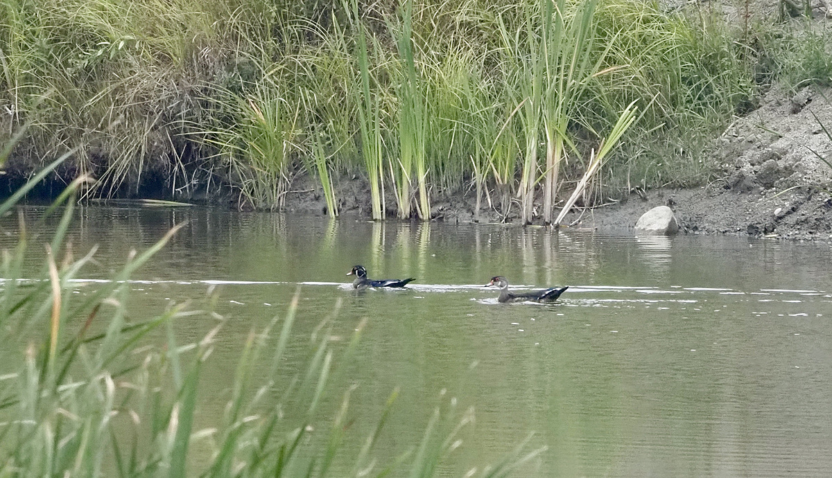
Fairly shallow creek bed with eroded clay and silt banks eroding into upper Cretaceous Shale bedrock. some stones and boulders. Meandering Creek within incised glacial outwash channel. Ample unmitigated, agricultural drainage cumulative additional fluid contributions.

Location created by
Clint and Jody Blyth
- Site ID: Site-1 49.9916374-1015375885
- Lat: 49.9912979
- Lng: -101.5371895
- Waterbody Type: Creek
- Timezone: America/Regina
Latest photos
See water flow comments above. water colour slightly cloudy brown. No trespassing was committed in the making of this report, Scott!
Nitrate level was less than one but greater than zero
water is getting clearer with less algae flush from upstream. now tea coloured. local ag drainage water still running. nitrate was less than 1 on standard colour chart but still a hint of colour.
Water high and muddy flow 30m3/sec. close to bank full in some locations. 12km downstream at environment canada station 05ng024.
7.9m3/sec stream flow rate as measured ~12km downstream at environment canada Pipestone Creek, Manitoba Saskatchewan border gauge station. water colour cloudy brown.