
Half Lake
Chapleau, Ontario, Canada
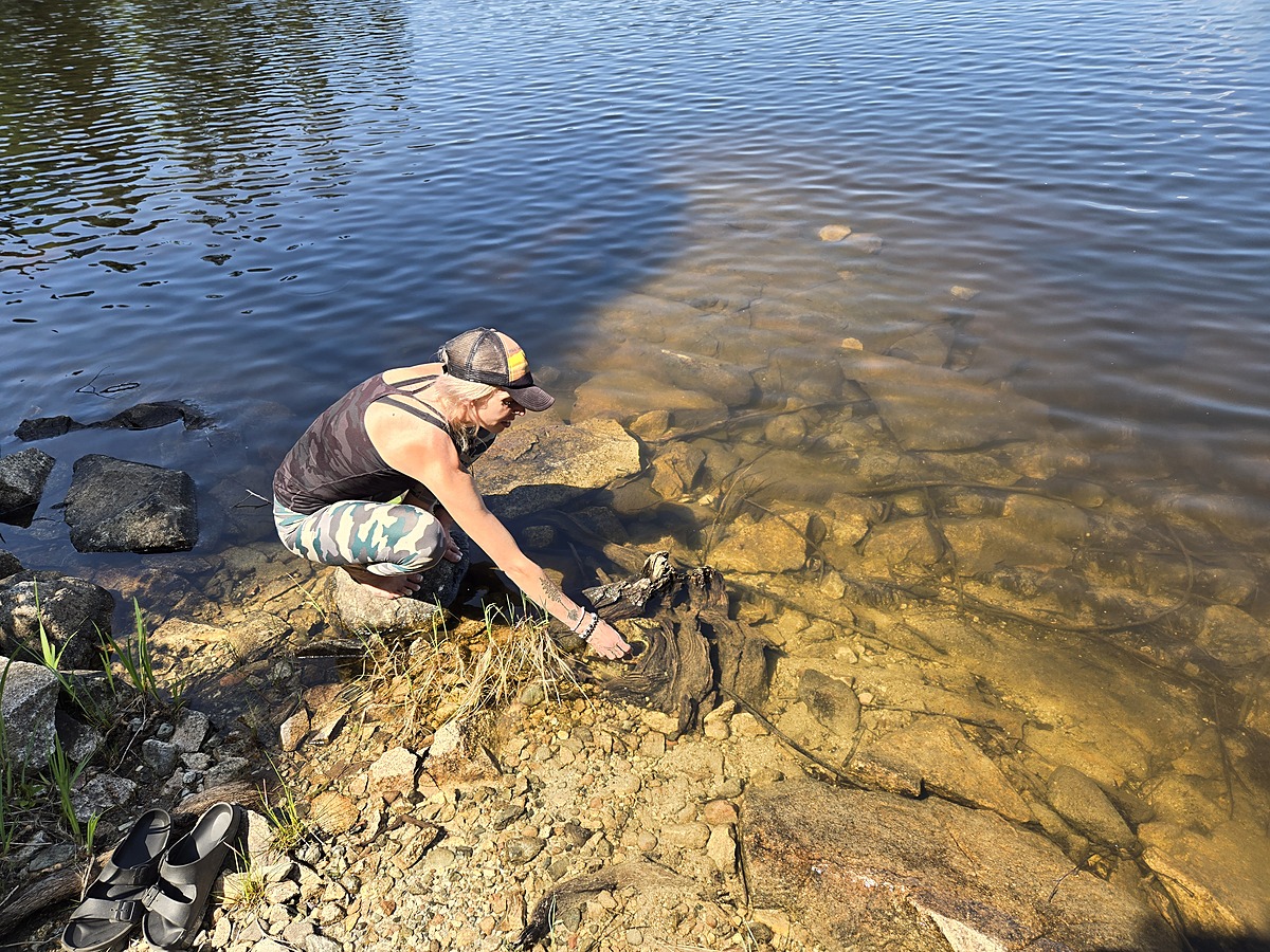
Small shallow lake along side of HWY 651 just before entering the Dog Lake area and the town of Missanabie Ontario. This location is accessible by vehicle and hosts a small camping spot and partial boat launch.
This location was a easy location to implement into our surface water monitoring program.

Location created by
Ty Hourtovenko
- Group: Missanabie Cree First Nation : Dog Lake Head Waters Monitoring Program
- Site ID: HL-651
- Lat: 48.2763347
- Lng: -84.0831971
- Waterbody Type: Lake
- Timezone: America/Toronto
Latest photos


Observations summary
Observation tests summary
Air temperature
°C
27.5
Latest
27.5
Average
Water temperature
°C
21.9
Latest
21.9
Average
Alkalinity
mg/L
0
Latest
0
Average
Hardness
mg/L
0
Latest
0
Average
Dissolved oxygen
mg/L
8.5
Latest
8.5
Average
Chlorine
ppm
0.0
Latest
0.0
Average
Conductivity
μS/cm
56
Latest
56
Average
Secchi depth
m
0.0
Latest
0.0
Average
Water depth
m
0.3
Latest
0.3
Average
pH (0-14)
7.0
Latest
7.0
Average