Salmon River
Ontario, Canada
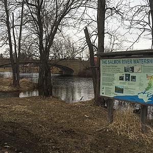
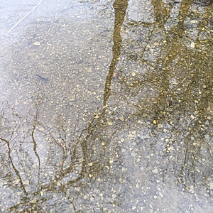
Public access point along the Salmon River, in Roblin. Sample location upstream from the bridge, adjacent Hwy 41. Course gravel substrate, good riparian edge at this location.

Location created by
Jennifer Valentine
- Group: Protect Our Waters
- Site ID: SR-RB-01
- Lat: 44.3753429
- Lng: -77.0192242
- Waterbody Type: River
- Timezone: America/Toronto
Latest photos
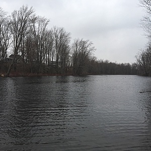
View all photosElevated water levels, noticeable flooding. Lg trees along the shoreline partially submerged under water. Course gravel substrate and lots of debris and leaf litter observed. Quick, steady flow. Culvert intersects Hwy u/s from sample area.
Light rain, 73% Humidity, 101.6 kPa, Wind 27km SW.


