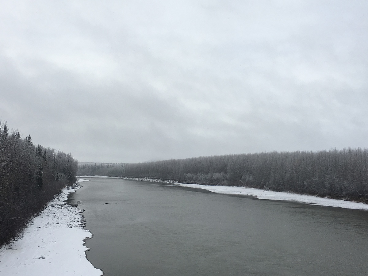
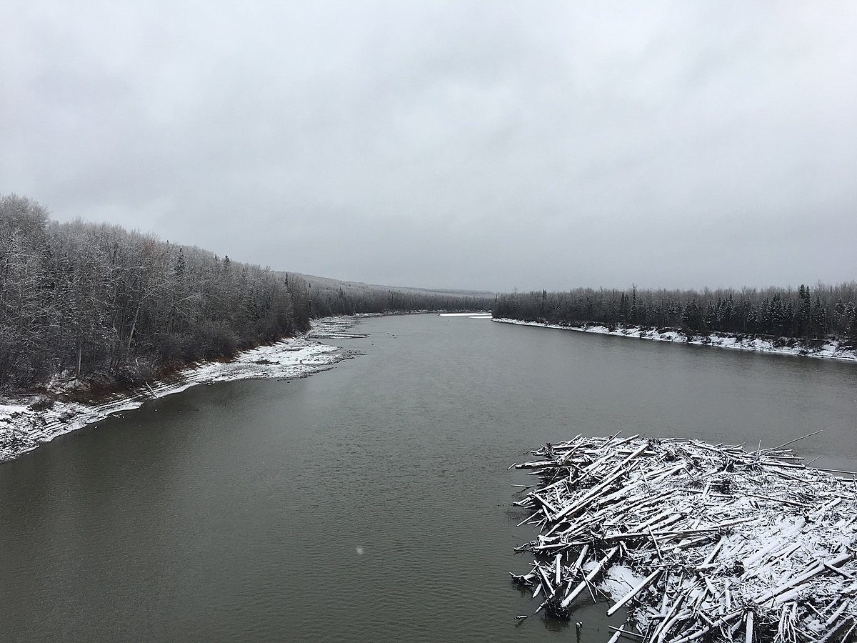
Fort Nelson River, BC
British Columbia, Canada
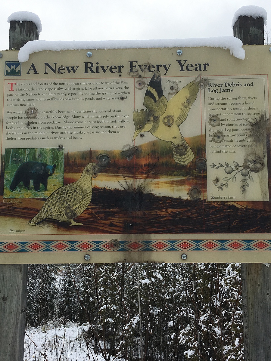
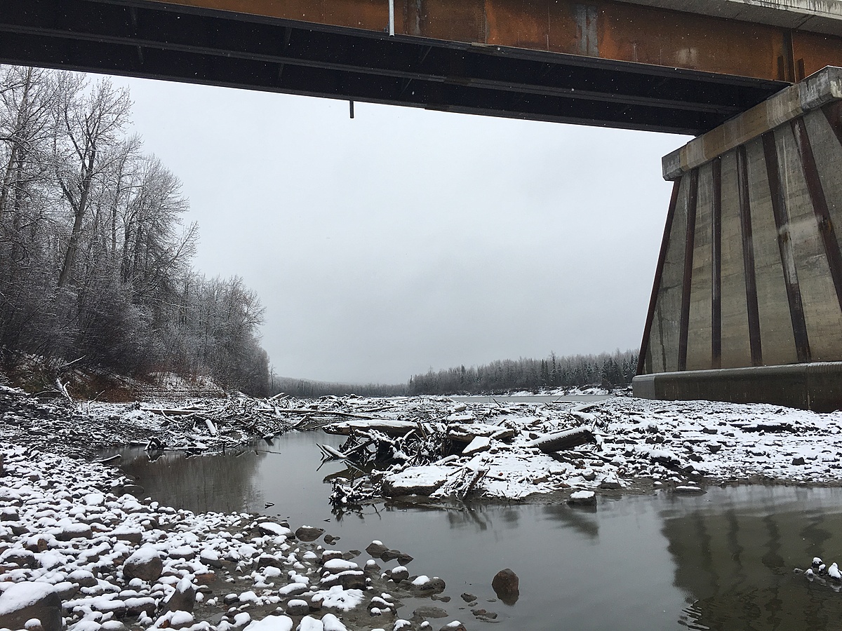
Follow small trail to rivers edge near rest stop. Steep and slippery riverbank in areas. The water is moving and depending on the time of year, especially in spring during snow melt, the river can be extremely high and fast. Large volume, braided river typical of western Canada.
Location created by
Cale Jackson
- Group: Protect Our Waters
- Lat: 59.2332739
- Lng: -123.253212
- Waterbody Type: River
- Timezone: America/Fort_Nelson
Latest photos
Observation tests summary
Air temperature
°C
-2.0
Latest
-2.0
Average
Water temperature
°C
2.3
Latest
2.3
Average
Alkalinity
mg/L
80
Latest
80
Average
Hardness
mg/L
50
Latest
50
Average
Conductivity
μS/cm
535
Latest
535
Average
Secchi depth
m
0.0
Latest
0.0
Average
Water depth
m
1.0
Latest
1.0
Average
pH (0-14)
8.4
Latest
8.4
Average
Ice On
Ice Off
- 2017-10-22