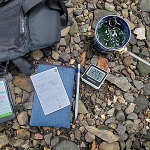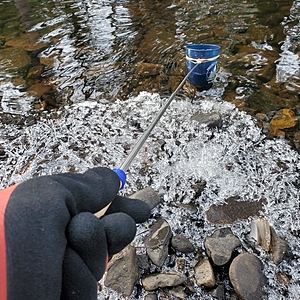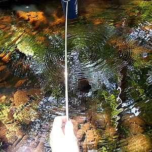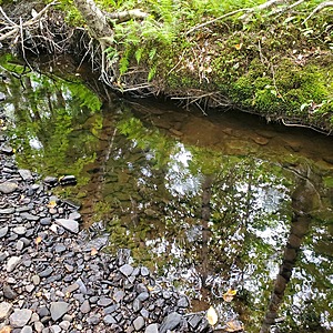
Wash Brook tributary
Sydney, Nova Scotia, Canada
This area is beside the trail, about 100m downstream from the tree nursery frames and berm.
Water is moving and the level here ranges from 1' to 2' deep, depending on precipitation.

Location created by
Maggie Black
- Group: ACAP Cape Breton : Citizen Science Water Monitoring in Unama'ki-Cape Breton
- Lat: 46.1249398
- Lng: -60.1605941
- Waterbody Type: Stream
- Timezone: America/Glace_Bay
Latest photos
View all photosObservations summary
Observation tests summary
Air temperature
°C
1.0
Latest
12.7
Average
Water temperature
°C
3.0
Latest
11.4
Average
Alkalinity
mg/L
80
Latest
100
Average
Chlorine
ppm
0.0
Latest
0.0
Average
Water depth
m
0.3
Latest
0.3
Average
pH (0-14)
6.6
Latest
7.0
Average
Hardness
mg/L
100
Latest
120
Average

