Napanee River, Ontario
Ontario, Canada
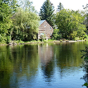
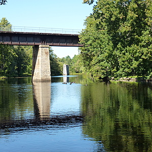
This test site is in the small community park and is approximately 100 meters above the Yarker bridge and Simcoe Falls ( which is a large 40+ foot vertical drop).
The water moves rapidly in this area throughout the year, and it can be dangerous to inexperienced swimmers, kayakers and canoeists.

- Group: Friends of the Napanee (Ontario, Canada)
- Lat: 44.3728736
- Lng: -76.7718601
- Waterbody Type: River
- Timezone: America/Toronto
Latest photos
View all photosSunny, clear day and no winds.
Water is down to normal Fall levels and moving at its normal slow rate.
Beautiful late Summer day and perfectly clear skies. The readings have been relatively consistent throughout this Summer (with the high level of rainfall) in this stretch of the Upper Napanee.
Beautiful day for photos !.
The water in this narrow section is at its normal depth (very shallow) and running its "normal fast."
Hot and humid today with partial cloud cover. Noticeable variance in air temperature compared to upstream- about 5 C warmer. Given the high volume of rain two weeks ago in the headwaters, the only major surprise was the much lower TH level - 75 compared to 150 two weeks ago.
Overcast morning.
Since this is a small hamlet with residences very close up and down the river, there was no sign of wildlife observed.
All deciduous trees in this area compared to lower downstream where the riparian zone is primarily coniferous.
Water moves very quickly in this area.
Given the proximity of the falls, this is a dangerous area for swimmers and water sports (e.g. kayaking, canoeing, tubing).

