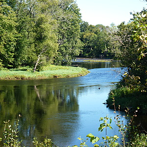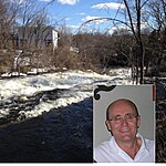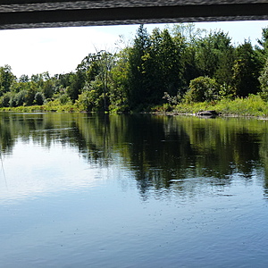
Napanee River, Ontario
Camden East, Ontario, Canada
The Curl Road bridge is one of a few that cross the Napanee River in this region. Water is moving throughout the year. There is a good hiking/biking/x-country skiing trail one hundred meters to the north of the bridge.

Location created by
Lawrence O'Keeffe
- Group: Friends of the Napanee (Ontario, Canada)
- Lat: 44.3501535
- Lng: -76.7999697
- Waterbody Type: River
- Timezone: America/Toronto
Latest photos
View all photosNapanee River, Ontario : Halfway between Yarker and Camden East, Ontario
Observed on
2017-09-01
Beautiful clear skies and the river is running its "normal fast." Fairly consistent readings a...
Napanee River, Ontario : Halfway between Yarker and Camden East, Ontario
Observed on
2017-07-11
Sunny and clear. Water running twice as fast as normal at this time of year. No algae.

