Mispec River
New Brunswick, Canada
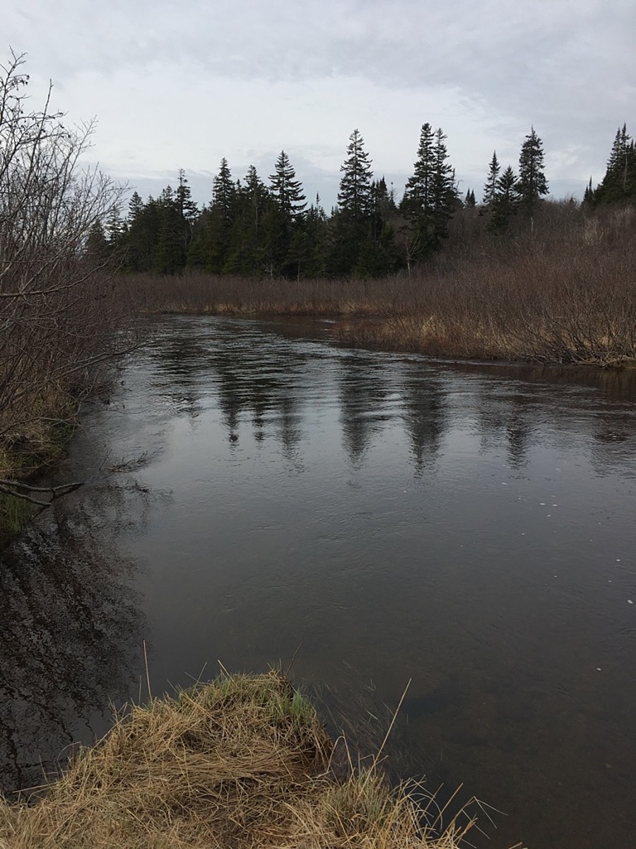
This site is located just downstream of the bridge.

Location created by
Roxanne MacKinnon
- Group: ACAP Saint John
- Lat: 45.2693898
- Lng: -65.895052
- Waterbody Type: River
- Timezone: America/Moncton
Latest photos
Mispec River : Downstream of the Old Black River Road crossing
Observed on
2017-05-05
Old campfire pit was present on the river bank. Atv paths going to to the water as well