pH (0-14)
What's this?
6.8
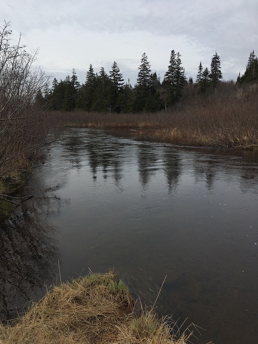
Downstream of the Old Black River Road crossing : Mispec River
New Brunswick, Canada

Observed by
Roxanne MacKinnon
- Observed on: Fri, 05 May 2017 13:21:44 -0300
-
Associated with:
ACAP Saint John - Lat: 45.2693898
- Lng: -65.895052
Observation report
See trends at this locationWater quality tests
Pending Quality Check from Water Rangers What's this?
Hardness mg/L
What's this?
25.0
Alkalinity mg/L
What's this?
20.0
Air temperature °C
What's this?
10.4
Water temperature °C
What's this?
9.6
Wildlife
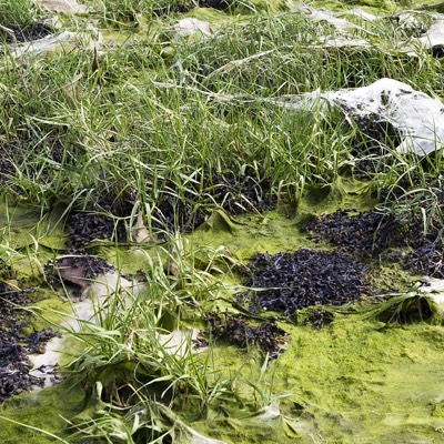
Plant
What's this?

Bird
What's this?
Latest photos
Notes
Old campfire pit was present on the river bank. Atv paths going to to the water as well